 Grellingen
 lies along the Birs in the Laufental valley, where wooded folds of the Jura rise tightly around a settled river corridor. The Birs, a tributary of the Rhine, shapes the village’s narrow strip of flatter land between the slopes. This Basel-Landschaft municipality combines hillside housing with small commercial and agricultural sites near the river. Grellingen stands on the route between Basel and Delémont, making the valley an important connection between northwestern Switzerland and the Jura. German is the local language, and the compact built fabric reflects the residential character of the Basel countryside.
Generated by AI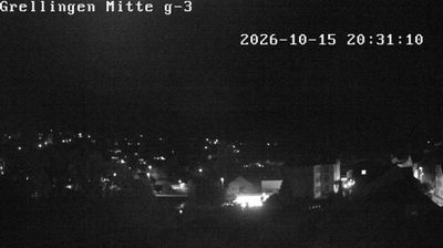
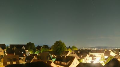
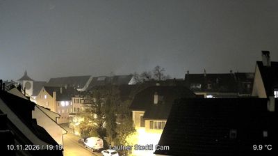
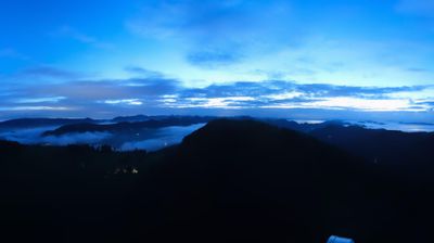
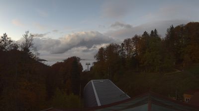

Grellingen is best known within Basel-Landschaft for its setting on the Birs River, where the valley narrows between wooded Jura slopes. The municipality lies on the northern approach to the Laufental, a corridor that has long linked Basel with the Jura and the canton of Jura. Above the Birs near Grellingen, Angenstein Castle occupies a rocky spur; this medieval stronghold once watched over the route through the valley. Rail services on the Basel–Delémont line connect the settlement with both Basel and the Jura. Riverbanks, forest paths and limestone terrain give the area a distinctly inland Swiss character. Discover other points of interest through webcams located across Basel-Landschaft.
2 webcams
Basel-Landschaft extends from the Rhine plain beside Basel to the wooded folds of the Jura, encompassing fertile valleys, vineyard slopes and upland pasture. The canton surrounds the city of Basel on much of its Swiss side, yet its identity is distinctly rural beyond the urban fringe. Liestal, the cantonal capital, sits on the Ergolz River, whose valley links the Jura with the Rhine. Near Augst, Augusta Raurica preserves the remains of a Roman colony founded around 44 BC, including a theatre. Fasnacht customs and seasonal cherry orchards add another layer to this compact northwestern corner of Switzerland. Discover other points of interest through webcams located across Basel-Landschaft.
18 webcams
Switzerland stretches from the Jura Mountains in the northwest to the Alps in the south, encompassing a central plateau of cities, farms and lakes. The Rhine rises in the Swiss Alps, while Lake Geneva forms part of the country’s southwestern border. Zürich, Geneva and Basel are major urban centres, yet mountain railways and passes remain central to how many regions are experienced. Four national languages—German, French, Italian and Romansh—reflect Switzerland’s distinct cantonal identities. The Matterhorn above Zermatt is among Europe’s most recognisable peaks, and the 1291 Federal Charter is closely associated with the country’s founding tradition. Continue through nearby webcams to explore different parts of Switzerland.
1.5K webcams