 Skala
The landscape around Skala is a cultivated stretch of the Eurotas valley between the Taygetus range and the hills of eastern Laconia, which has shaped both the built environment and local life. Skala is the seat of the Municipality of Evrotas, in Laconia. Fields, olive groves and citrus cultivation extend across the plain, while nearby Gramousa is one of the small settlements woven into this agricultural terrain. The Eurotas, the Peloponnese’s longest river, runs through the valley toward the Laconian Gulf. This is a working rural part of the southeastern Peloponnese, where compact red-tiled settlements stand among irrigated farmland. Laconia’s olive oil and citrus fruit are important local products and part of southern Greek food traditions.
Generated by AI

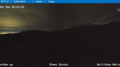


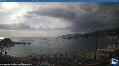
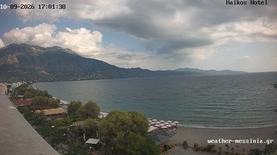

The landscape around Skala is a low, intensively cultivated plain along the lower Eurotas River, which has shaped both the town’s layout and its agricultural economy. Set in Laconia in the southeastern Peloponnese, Skala is the administrative centre of the Municipality of Evrotas and a local hub for communities across the river plain. Citrus orchards and olive groves define much of the surrounding countryside, while the Eurotas continues south towards the Laconian Gulf. Skala has the open, working character of a market town rooted in farming and everyday local life, rather than that of the stone-built upland settlements found elsewhere in the Peloponnese. Discover how Skala belongs to the Eurotas valley and wider Laconia by browsing webcams nearby.
2 webcams
The terrain of Peloponnese, Western Greece and the Ionian ranges from the low coastal plains of western Peloponnese to the Pindus mountain country in the north, creating a region of strong contrasts between shore and interior. The Ionian Sea defines its western edge, alongside islands including Corfu, Kefalonia, Zakynthos and Lefkada, while the Alpheios River runs through Elis towards the coast. Ancient Olympia, in Elis, was the sanctuary where the ancient Olympic Games were held, and its archaeological site remains one of Greece’s most important classical landmarks. Browse additional webcams from the surrounding area to extend your view of western Greece and the Ionian.
79 webcams
Greece occupies a mountainous peninsula and island-dotted coastline in southeastern Europe. The Aegean Sea shapes its eastern shore, while the Ionian Sea lies to the west; Crete is the country’s largest island. Athens is anchored by the Acropolis, where the Parthenon has stood since the fifth century BCE as a defining monument of classical antiquity. Beyond the capital, the Pindus Mountains run through the mainland, and Mount Olympus is associated in ancient Greek religion with the home of the gods. Greek food traditions centre on olive oil, seafood, cheeses and regional dishes, with long meals remaining an important part of social life. Continue through nearby webcams to explore the islands and mainland regions of Greece.
504 webcams