 Qender Erseke
Plikati stands below the Grammos ridge in Epirus, where the mountainous frontier with Albania has shaped a compact settlement. It is one of the Mastorochoria, the “master builders’ villages” of the Konitsa area, a district associated with itinerant stone masons. Houses gather along steep ground, with stone construction and metal roofs reflecting the practical demands of a highland community. Forested slopes climb into the rugged Grammos range, whose borderlands were a major theatre of the Greek Civil War. Plikati lies within the Ioannina regional unit, in Greece’s far northwestern interior.
Generated by AI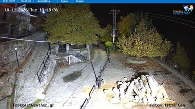
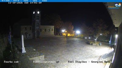


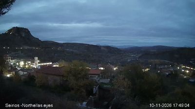

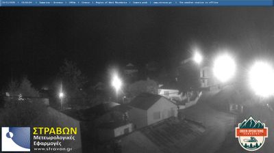


Qendër Ersekë sits on the Kolonjë plateau in southern Albania, where highland terrain rises toward the Gramos Mountains and the Greek frontier. Commonly known as Ersekë, it is the administrative centre of Kolonjë Municipality and stands at roughly 1,000 metres, giving it a cooler climate than Albania’s coastal cities. The town serves a scattering of agricultural settlements across the uplands, where apple growing is a noted local tradition and livestock farming remains important. Its roads connect the Kolonjë highlands with Korçë and the southern border area. Continue with other webcams from the area to see how this part of southern Albania connects regionally.
2 webcams
The Pindus foothills and deep river valleys define much of Southern Albania - farming and settlement gather on valley floors, while the higher country remains lightly populated. In the interior around Çorovodë, the Osum River passes through limestone terrain and forms the Osum Canyon; farther south, the Vjosa is among the Balkans’ major rivers. Mount Tomorr rises north of this area and is an important pilgrimage site, particularly during its August Bektashi gathering. Berat provides an urban counterpoint: its historic centre is UNESCO-listed, with a hillside castle above Ottoman-era houses. Discover other points of interest through webcams located across Southern Albania.
4 webcams
Mountain ranges define much of Albania — steep terrain has concentrated settlements and transport routes in valleys and along the coastal plain, while rivers such as the Drin support hydropower. The Albanian Alps rise in the north, and the Adriatic and Ionian coasts shape the country’s western and southern shores. Tirana is the capital and largest city, while Berat and Gjirokastër are UNESCO World Heritage cities noted for their historic urban fabric. Albania’s Mediterranean setting also appears in olive growing, coastal cuisine and cultural influences from the Balkans, the Ottoman world and Italy. Explore nearby webcam locations that provide complementary perspectives on Albania’s mountains, towns and coast.
15 webcams