 Garden City
Boise straddles the Boise River in southwestern Idaho, and its position on the Treasure Valley plain made it a trading and supply centre during the 1860s gold rush. The city was founded in 1863, when Fort Boise became a focal point for the growing settlement. Today, suburban districts spread across the broad valley south and west of the historic centre, while the Boise Foothills rise to the north. Downtown is anchored by the Idaho State Capitol, completed in 1920, alongside civic, cultural and university institutions. The Boise River Greenbelt links parks and neighbourhoods along the river, connecting urban life with the surrounding semi-arid landscape.
Generated by AI
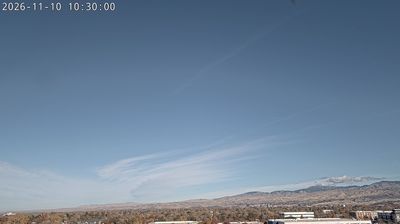
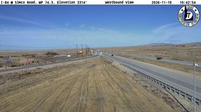

Garden City occupies a low riverside plain along the Boise River, immediately west of Boise in southwestern Idaho. Though closely connected to the state capital, it has its own compact identity, shaped by former agricultural and industrial land beside the water. The Boise River Greenbelt runs through the city, linking riverside parks and neighbourhoods with a paved route used by walkers and cyclists. Garden City is also part of the Boise area's food-and-drink scene, with wineries, breweries and artist workspaces gathered near Chinden Boulevard. Its setting gives urban Idaho a more informal, river-oriented rhythm. Discover other points of interest through webcams located across Garden City and the Boise River valley.
1 webcam
Idaho stretches from the Canadian border to the Utah and Nevada state lines, encompassing forested Rocky Mountain country, broad river valleys, and the Snake River Plain. Central Idaho includes the Wood River Valley, home to the Sun Valley area and its long-established ski culture, with the Sawtooth Range rising to the north. The Snake River crosses southern Idaho, shaping irrigated agriculture, hydropower, and communities along its course. Idaho is also widely associated with potato farming, supported by fertile volcanic soils across the plain. Browse additional webcams from central Idaho to extend your view of the Wood River Valley and the state’s mountain country.
38 webcams
The Atlantic, Pacific and Gulf coasts define much of the United States — their ports, fisheries and trade routes have long tied the country’s economy to the wider world. Between them, the Rocky Mountains, Great Plains and Mississippi River basin form sharply different regions, from high western ranges to broad agricultural heartlands. Cities carry much of the national story: New York’s Statue of Liberty, a gift from France dedicated in 1886, remains an enduring symbol, while Washington, DC concentrates major federal institutions. Indigenous nations have shaped these lands for millennia, and their living cultures remain essential to the country’s identity. Find related webcams in the surrounding areas to build a fuller picture of the United States.
32K webcams