 Village of Brownville: New York 12
Brownville sits along the Black River in northern New York, where rural roads, woodland and low-lying farmland stretch between Watertown and the Thousand Islands region. New York State Route 12 is an important north–south route through the North Country, linking communities in Jefferson County with the St. Lawrence River area. The village of Brownville developed in the 19th century around water-powered industry on the Black River, whose current supported mills and manufacturing. That legacy connects the settlement to the river economy that shaped many communities in this part of the state. Beyond the village, the town remains largely rural, with scattered homes, working land and wooded roadside corridors.
Generated by AI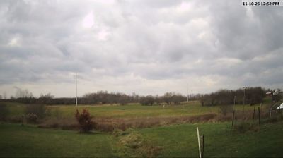

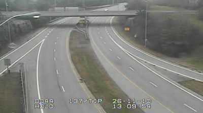


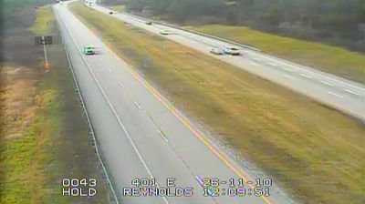
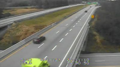

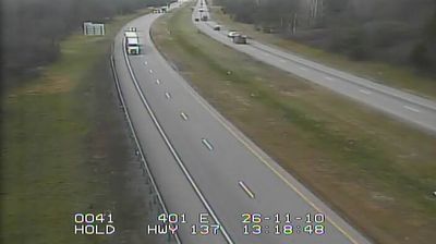
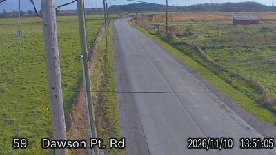
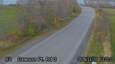

Brownville combines the quiet scale of a river village with the energy of the Black River in a way that reflects its position in northern New York’s North Country. Set in Jefferson County, it stands on the river’s lower course, within the Lake Ontario drainage basin. The community takes its name from General Jacob Brown, an early settler who became a prominent commander in the War of 1812. Waterpower from the Black River supported 19th-century industry, while the Brownville Historic District records the village’s long-established civic and residential fabric. It is a useful stop for understanding the settled river corridors beyond nearby Watertown. Browse additional webcams from the surrounding area to extend your view of the Black River region.
1 webcam
New York has served as a commercial and transport heartland within the United States since the early 19th century. These coordinates lie in Central New York, near Oneida Lake, the largest lake entirely within the state. The lake and the nearby Mohawk Valley formed part of the wider corridor that made the Erie Canal, completed in 1825, a decisive link between the Hudson River and the Great Lakes. This is also part of the ancestral homeland of the Oneida people, one of the Haudenosaunee nations. Today, waterways, small lakeside communities and the canal-era landscape give the area a distinctly inland New York character. Explore nearby webcam locations that provide complementary perspectives on Central New York and Oneida Lake.
65 webcams
The Atlantic, Pacific and Gulf coasts define much of the United States — their ports, fisheries and trade routes have long tied the country’s economy to the wider world. Between them, the Rocky Mountains, Great Plains and Mississippi River basin form sharply different regions, from high western ranges to broad agricultural heartlands. Cities carry much of the national story: New York’s Statue of Liberty, a gift from France dedicated in 1886, remains an enduring symbol, while Washington, DC concentrates major federal institutions. Indigenous nations have shaped these lands for millennia, and their living cultures remain essential to the country’s identity. Find related webcams in the surrounding areas to build a fuller picture of the United States.
32K webcams