 Toczylowo: Jezioro - na żywo
Toczyłowo combines a rural setting with the proximity of Grajewo in a way that reflects its position in the agricultural lowlands of north-eastern Poland. The village lies in Podlaskie Voivodeship, a region where small settlements and fields extend across a largely level landscape. Lake Toczyłowo gives the locality a clear geographical reference point, while Grajewo provides the nearest urban context. This is a quiet corner of Poland rather than a major resort or city destination, suited to understanding the everyday scale of the country’s north-eastern countryside. The wider Podlaskie region is shaped by Polish, Belarusian, Lithuanian and Jewish historical influences, reflected in its towns, food and religious traditions.
Generated by AI
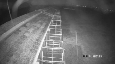

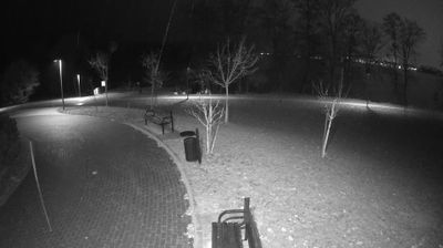

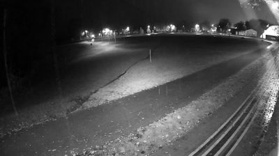


The landscape around Toczyłowo is low-lying and centred on Lake Toczyłowo, which has shaped both the village’s settlement pattern and local economy. Set in Poland’s Podlaskie Voivodeship, this small rural community lies in a region of fields, woodland and lakes rather than dense urban development. Lake Toczyłowo is the area’s defining geographic feature, giving the locality a distinctly waterside character. Toczyłowo is also part of the wider Masurian–Podlasie borderland, where everyday life remains closely connected to the seasons and the surrounding countryside. Discover further places of interest through webcams across Podlaskie Voivodeship.
1 webcam
Built around the Narew and Bug river systems, Podlaskie Voivodeship grew into Poland’s northeastern borderland, where lowlands meet extensive forests and wetlands. The Biebrza marshes, protected in Biebrza National Park, are among the region’s defining habitats, while the Narew flows through a network of channels and floodplain meadows. Białowieża Forest, shared with Belarus and inscribed on UNESCO’s World Heritage List, preserves one of Europe’s last large remnants of primeval lowland forest and its European bison. Białystok is the regional capital, and Podlaskie also carries the heritage of Poland’s Lipka Tatars, notably in Kruszyniany and Bohoniki. Trace this northeastern Polish region’s place in the wider borderland by browsing webcams nearby.
25 webcams
Poland stretches from the Baltic Sea coast in the north to the Carpathian Mountains along its southern frontier, encompassing broad lowlands, lake districts and upland ranges. The Vistula, the country’s longest river, links Kraków and Warsaw before reaching the Baltic near Gdańsk, while the Masurian Lake District is defined by a dense network of lakes. Kraków’s historic centre, including Wawel Castle, recalls Poland’s former royal capital; Warsaw’s rebuilt Old Town speaks to the city’s recovery after the Second World War. The Białowieża Forest preserves one of Europe’s last primeval lowland forests and is home to European bison. Follow how Poland’s regions relate to one another by browsing webcams across the country.
718 webcams