 Grajewo: Parafia pw. św. Jana Pawła II w Grajewie - Ołtarz
Tucked into the postglacial lowlands of northeastern Poland, Grajewo is a place whose character is shaped by its open terrain. The town lies in Podlaskie Voivodeship near the Ełk River, close to the meeting point of the Podlasie and Masuria regions, and serves as a local centre for the surrounding agricultural countryside. Grajewo received town rights in 1540, reflecting its early role in this part of the Polish-Lithuanian Commonwealth. Its streets combine low-rise housing, services and rail-linked industry rather than a monumental old-town ensemble. The Parish of St John Paul II represents the town’s contemporary Catholic life, with a sanctuary used for worship and parish gatherings. Grajewo is a practical stop between the Masurian lake district and the wider Podlasie region.
Generated by AI


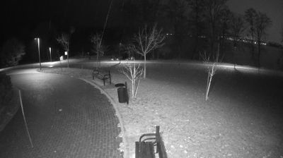

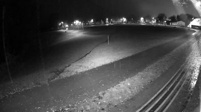


Few towns in Podlaskie Voivodeship have a history as closely tied to the railway and borderland commerce as Grajewo. The town lies on the Ełk River, a tributary of the Biebrza, amid the open fields and wooded stretches of Poland’s north-eastern lowlands. Rail connections towards Białystok, Ełk and the former Prussian frontier gave Grajewo importance from the late 19th century, supporting the movement of people and goods through this border region. That transport legacy remains central to Grajewo’s identity. View additional webcams nearby to better understand how Grajewo and the Ełk River valley relate to the wider Podlaskie landscape.
1 webcam
Built around the Narew and Bug river systems, Podlaskie Voivodeship grew into Poland’s northeastern borderland, where lowlands meet extensive forests and wetlands. The Biebrza marshes, protected in Biebrza National Park, are among the region’s defining habitats, while the Narew flows through a network of channels and floodplain meadows. Białowieża Forest, shared with Belarus and inscribed on UNESCO’s World Heritage List, preserves one of Europe’s last large remnants of primeval lowland forest and its European bison. Białystok is the regional capital, and Podlaskie also carries the heritage of Poland’s Lipka Tatars, notably in Kruszyniany and Bohoniki. Trace this northeastern Polish region’s place in the wider borderland by browsing webcams nearby.
25 webcams
Poland stretches from the Baltic Sea coast in the north to the Carpathian Mountains along its southern frontier, encompassing broad lowlands, lake districts and upland ranges. The Vistula, the country’s longest river, links Kraków and Warsaw before reaching the Baltic near Gdańsk, while the Masurian Lake District is defined by a dense network of lakes. Kraków’s historic centre, including Wawel Castle, recalls Poland’s former royal capital; Warsaw’s rebuilt Old Town speaks to the city’s recovery after the Second World War. The Białowieża Forest preserves one of Europe’s last primeval lowland forests and is home to European bison. Follow how Poland’s regions relate to one another by browsing webcams across the country.
718 webcams