 Barton: I-76: Nebraska - Colorado Border: East
Barton lies along the South Platte River valley, where irrigated fields and major road corridors run across Nebraska’s western High Plains. This small Deuel County community stands close to the Colorado state line, in country shaped by broad agricultural tracts rather than a dense town centre. Interstate 76 reaches Nebraska here before meeting Interstate 80, linking the Front Range corridor with the transcontinental route across southern Nebraska. The South Platte has long supported settlement and farming through this otherwise semi-arid region. Barton’s setting conveys the practical scale of the Panhandle: level ground, cultivated land and long-distance travel routes.
Generated by AI
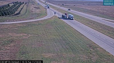

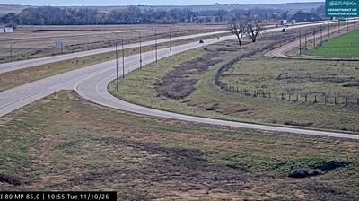
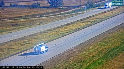

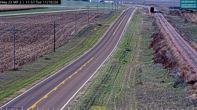
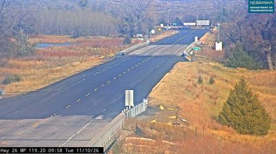
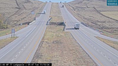
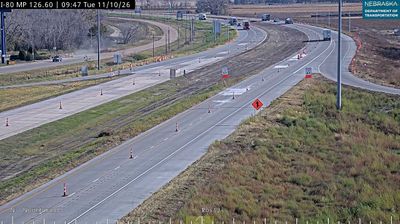

Barton combines the openness of Nebraska’s High Plains with the practical rhythm of a rural community in a way that reflects its position in western Nebraska. Broad agricultural land and prairie horizons define this part of Deuel County, where weather, long roads and seasonal work shape everyday routines. The surrounding country forms part of the Great Plains, the immense interior region extending across central North America. Farming and cattle ranching remain central to the character of the area, while nearby transport routes link small communities across the state. Continue with other webcams from the area to see how this part of western Nebraska connects regionally.
2 webcams
Nebraska occupies a broad central stretch of the Great Plains in the United States. The Platte River crosses its southern half, its wide valley long serving as a natural east–west corridor through the prairie. In the north, the Nebraska Sandhills form one of the world’s largest areas of grass-stabilized sand dunes, while western Nebraska becomes drier and more rugged. Much of the Oregon Trail followed the Platte River corridor, linking the state to the great nineteenth-century migration west. Today, working farms, ranches, university cities and expansive open country all remain central to Nebraska’s identity. Explore other webcams in Nebraska to compare prairie, river-valley and Sandhills settings around the state.
328 webcams
The Atlantic, Pacific and Gulf coasts define much of the United States — their ports, fisheries and trade routes have long tied the country’s economy to the wider world. Between them, the Rocky Mountains, Great Plains and Mississippi River basin form sharply different regions, from high western ranges to broad agricultural heartlands. Cities carry much of the national story: New York’s Statue of Liberty, a gift from France dedicated in 1886, remains an enduring symbol, while Washington, DC concentrates major federal institutions. Indigenous nations have shaped these lands for millennia, and their living cultures remain essential to the country’s identity. Find related webcams in the surrounding areas to build a fuller picture of the United States.
32K webcams