 Upper Napan
 lies along the Napan River in northeastern New Brunswick, where wooded lowlands meet the road corridors east of Miramichi. The river runs toward Miramichi Bay, part of an estuarine coast connected to the Gulf of St. Lawrence. Route 11 passes through this largely rural community, linking it with the wider northeast of the province and giving the settlement a practical roadside character of homes, local services and forest. Upper Napan belongs to the Miramichi region, whose communities reflect enduring Mi'kmaq, Acadian, Irish and Scottish connections. It is a small New Brunswick settlement positioned between river country, woodland and a principal regional highway.
Generated by AI

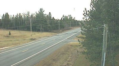

Upper Napan is best known within New Brunswick for its rural setting along the Napan River, close to the Miramichi area. This small community lies amid the low, wooded terrain and farmland of the province’s northeast, where local roads follow a landscape shaped by waterways and seasonal agriculture. The surrounding Miramichi region forms part of Mi'kma'ki, the traditional territory of the Mi'kmaq, and its identity has long been linked to the Miramichi River and Atlantic salmon fishing. Upper Napan provides a sense of New Brunswick beyond its cities: working land, scattered settlements and river country. Continue through nearby webcams to explore different parts of Upper Napan and the Miramichi region.
1 webcam
New Brunswick occupies a forested Atlantic province in eastern Canada. The Saint John River runs through its interior toward the Bay of Fundy, whose exceptional tidal range shapes dramatic coastal mudflats, cliffs, and fishing communities. Fredericton, the provincial capital, stands on the river, while the province’s cities and rural districts reflect both Acadian and anglophone traditions. New Brunswick is Canada’s only officially bilingual province, with French and English integral to public life. Browse other webcams across Atlantic Canada to place New Brunswick in a wider geographic context.
51 webcams
Canada has served as a frontier between French and British colonial powers since the 17th century. The world’s second-largest country extends from Atlantic shores to the Pacific and Arctic coasts, with the Canadian Shield, the Rocky Mountains, the Great Lakes and the St. Lawrence River shaping its vast geography. First Nations, Inuit and Métis peoples are central to Canada’s identity, while Ottawa’s Parliament Hill represents its federal political life. French remains the official language of Quebec, adding a distinct dimension to the country’s public culture. See how Canada connects across North America by browsing webcams in neighbouring regions.
3.5K webcams