 Saint-Alexis-de-Matapédia
Glenwood has served as a rural roadside community in northern New Brunswick since the twentieth century. It lies in the Restigouche River valley, where Route 17 crosses a largely forested corridor close to Quebec. The highway links the Campbellton area with inland communities toward the upper Saint John River and is one of the region’s main road connections. Mixed woodland and low, rolling ground place Glenwood within the northern Appalachian landscape. The broader Restigouche region is part of Mi’kma’ki, the traditional homeland of the Mi’kmaq. Here, road travel, forest and the nearby provincial boundary define a quieter side of northern New Brunswick.
Generated by AI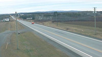

Saint-Alexis-de-Matapédia straddles the confluence of the Matapédia and Restigouche rivers in Quebec’s Gaspésie region, a borderland position linking the Matapédia Valley with neighbouring New Brunswick. The Restigouche forms part of the Quebec–New Brunswick boundary, while the Matapédia arrives through a long, settled river valley. Both waterways are associated with Atlantic salmon and remain central to the area’s outdoor identity. This stretch of the Restigouche watershed lies within Mi’gma’gi, the traditional homeland of the Mi’gmaq. The community’s small-scale, French-speaking character contrasts with the broad forest country around it. Move on to other webcams in Gaspésie to compare river landscapes and settings around eastern Quebec.
1 webcam
Quebec has served as a French-speaking heartland within Canada since the 17th century. This vast province stretches from the St. Lawrence River valley to the subarctic north, and the coordinates here lie in its extensive Canadian Shield interior. Boreal forest, lakes, wetlands and rock outcrops shape this sparsely settled part of northern Quebec, where waterways are central to travel and seasonal life. French is Quebec’s official language, while Indigenous nations maintain enduring ties to territories across the province. Quebec City’s historic centre, founded in the early French colonial era, is a UNESCO World Heritage site. Browse additional webcams from the surrounding area to extend your view of northern Quebec.
59 webcams
Canada has served as a frontier between French and British colonial powers since the 17th century. The world’s second-largest country extends from Atlantic shores to the Pacific and Arctic coasts, with the Canadian Shield, the Rocky Mountains, the Great Lakes and the St. Lawrence River shaping its vast geography. First Nations, Inuit and Métis peoples are central to Canada’s identity, while Ottawa’s Parliament Hill represents its federal political life. French remains the official language of Quebec, adding a distinct dimension to the country’s public culture. See how Canada connects across North America by browsing webcams in neighbouring regions.
3.5K webcams