 Andover Parish
Built around the Aroostook River valley, Aroostook grew into a rural community in northwestern New Brunswick. The river rises in Maine, crosses the international boundary and joins the Saint John River, placing the settlement within a watershed shared by Canada and the United States. The divided Trans-Canada Highway follows this corridor, with wooded hills and cultivated clearings defining the surrounding terrain. The wider borderland was central to the Aroostook boundary dispute of 1838–39, resolved by the Webster–Ashburton Treaty in 1842. Aroostook remains a quiet road-and-river locality where forest and farmland meet.
Generated by AI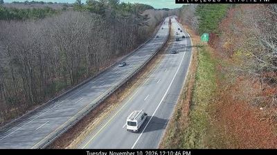


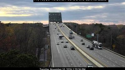

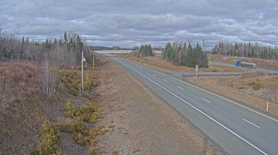
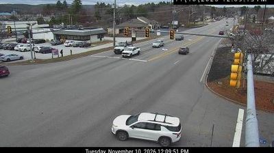
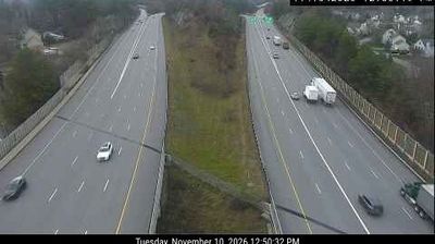
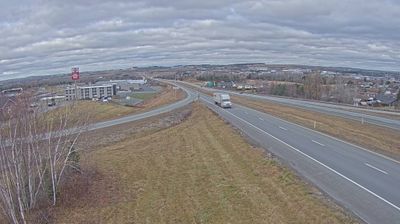
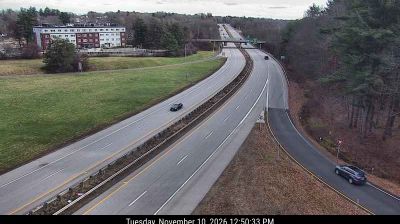

Andover Parish combines wooded interior roads with more open country near the Saint John River valley, reflecting its position in northwestern New Brunswick. Rather than a single urban centre, it is a dispersed rural area within Victoria County, where settlement follows local roads and the wider river corridor. Its civil-parish designation preserves a longstanding form of geographic division in New Brunswick. Forest and farmland set the prevailing scale, while Perth-Andover lies nearby on the Saint John River. View additional webcams nearby to better understand how Andover Parish relates to the Saint John River valley and northwestern New Brunswick.
2 webcams
New Brunswick occupies a forested Atlantic province in eastern Canada. The Saint John River runs through its interior toward the Bay of Fundy, whose exceptional tidal range shapes dramatic coastal mudflats, cliffs, and fishing communities. Fredericton, the provincial capital, stands on the river, while the province’s cities and rural districts reflect both Acadian and anglophone traditions. New Brunswick is Canada’s only officially bilingual province, with French and English integral to public life. Browse other webcams across Atlantic Canada to place New Brunswick in a wider geographic context.
51 webcams
Canada has served as a frontier between French and British colonial powers since the 17th century. The world’s second-largest country extends from Atlantic shores to the Pacific and Arctic coasts, with the Canadian Shield, the Rocky Mountains, the Great Lakes and the St. Lawrence River shaping its vast geography. First Nations, Inuit and Métis peoples are central to Canada’s identity, while Ottawa’s Parliament Hill represents its federal political life. French remains the official language of Quebec, adding a distinct dimension to the country’s public culture. See how Canada connects across North America by browsing webcams in neighbouring regions.
3.5K webcams