 Minersville
 Pass combines an open sagebrush upland with a road crossing in a way that reflects its position in Utah’s Basin and Range country. State Route 130 crosses this rolling, sparsely settled terrain near Minersville, where low ridges and broad basins define the Great Basin landscape. It is a high-desert corridor rather than the enclosed canyon country associated with other parts of southern Utah. The name Minersville recalls the mineral exploration and mining that helped shape settlement in this corner of the state during the nineteenth century. Its wide rangeland setting gives the route a markedly different character from the urbanized Wasatch Front.
Generated by AI
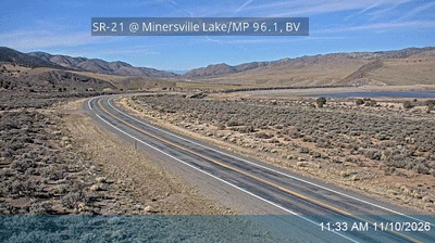
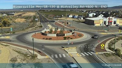
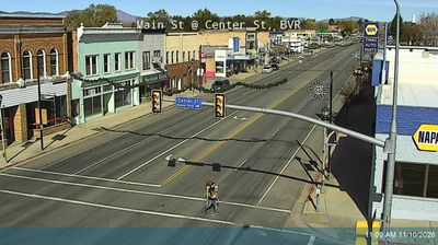


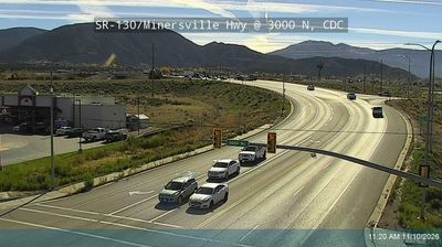
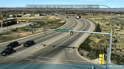


Tucked between the Mineral Mountains and the Beaver River valley in western Utah, Minersville is a place whose character is shaped by high-desert terrain and a mining past. The town stands close to Minersville Reservoir, an impoundment on the Beaver River that brings a band of water and shoreline to this otherwise dry interior setting. Founded in 1859 by Latter-day Saint settlers, Minersville took its name from the prospecting and mineral extraction that drew attention to the area. Its modest scale and broad basin setting place it firmly in the rural geography of Beaver County, away from Utah’s larger urban corridors. Discover how Minersville belongs to the Mineral Mountains and Beaver County by browsing webcams nearby.
3 webcams
Utah has functioned as a frontier region within the United States since the mid-19th century. Its terrain spans the Great Basin, the Wasatch Range and the Colorado Plateau, where red-rock canyons and high desert occupy much of the south and east. The Great Salt Lake is the state’s defining inland water body, while the Colorado River has carved some of its most dramatic canyon country. Salt Lake City grew from the 1847 settlement of Mormon pioneers, and Utah entered the Union in 1896. Five national parks, including Zion, Arches and Bryce Canyon, reflect the extraordinary variety of its protected landscapes. Continue through nearby webcams to explore different parts of Utah.
1.1K webcams
The Atlantic, Pacific and Gulf coasts define much of the United States — their ports, fisheries and trade routes have long tied the country’s economy to the wider world. Between them, the Rocky Mountains, Great Plains and Mississippi River basin form sharply different regions, from high western ranges to broad agricultural heartlands. Cities carry much of the national story: New York’s Statue of Liberty, a gift from France dedicated in 1886, remains an enduring symbol, while Washington, DC concentrates major federal institutions. Indigenous nations have shaped these lands for millennia, and their living cultures remain essential to the country’s identity. Find related webcams in the surrounding areas to build a fuller picture of the United States.
32K webcams