 Svartnes
Among the places of Finnmark, Svartnes stands out for its position on Vardøya beside the Barents Sea. This sparsely settled locality lies at the island’s western end, where the E75 leads towards the Vardø Tunnel and the mainland Varanger Peninsula. Its open, low-lying ground belongs to the Arctic coastal setting of far northeastern Norway, shaped by treeless heath and scattered infrastructure rather than dense development. Svartnes is also associated with Vardø Airport, which serves Vardø, Norway’s easternmost town. In Vardø, Vardøhus Fortress, founded in the early 14th century and rebuilt in the 1730s, recalls the strategic importance of this Barents Sea outpost.
Generated by AI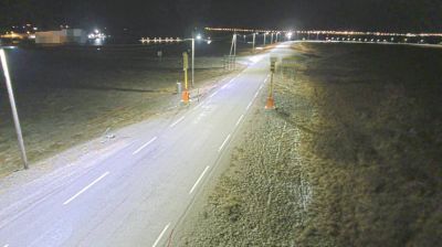

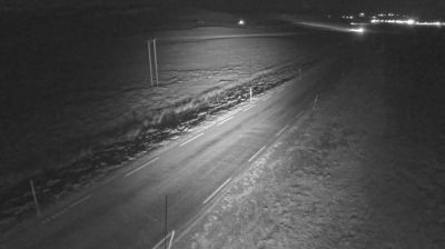
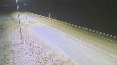

Svartnes occupies a coastal stretch on the northern side of the Varanger Peninsula in Troms og Finnmark, facing the Barents Sea. This sparse Arctic settlement lies on the mainland opposite the island town of Vardø, and Vardø Airport is located here. Treeless tundra, exposed shores and the open sea define the surroundings, with conditions that can change quickly in the far north. The Vardø Tunnel passes beneath Bussesundet to connect the mainland with Vardø. On the island, historic Vardøhus Fortress and the Steilnes Memorial recall the area’s long northern history and the 17th-century witch trials. Browse other webcams across Troms og Finnmark to place this coastal setting in a wider geographic context.
4 webcams
Finnmark is best known within Norway for the North Cape, the dramatic headland on Magerøya facing the Barents Sea. Norway’s northernmost county stretches across an Arctic coast of islands, fjords and exposed tundra, with long distances between its settlements. The region is central to Sámi culture: Karasjok is home to the Sámi Parliament of Norway, while reindeer husbandry remains important across the interior. Fishing has long shaped coastal communities, and the waters of the Barents Sea support a major maritime economy. View additional webcams nearby to better understand how Finnmark relates to its Arctic surroundings.
52 webcams
Norway has served as a seafaring link between the North Atlantic and northern Europe since the Viking Age. Its long coastline is cut by fjords, while the Lofoten archipelago rises sharply from the Norwegian Sea and the mountains of Jotunheimen include Galdhøpiggen, Norway’s highest peak. Bergen’s Bryggen, the former Hanseatic wharf, recalls centuries of maritime trade. Farther north, Sámi culture remains an essential part of the country’s identity. Explore nearby webcam locations that provide complementary perspectives on Norway’s coast, fjords and mountain regions.
1.5K webcams