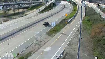
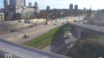
 Minneapolis: I-94: I-94 SB @ 7th St
Minneapolis is best known in the United States for the flour mills that once lined the Mississippi River. Waterpower from St. Anthony Falls made the city a leading center of American flour production in the late nineteenth century, a legacy interpreted at Mill City Museum in the former Washburn A Mill. Downtown rises west of the river in a compact concentration of towers, while Interstate 94 carries traffic through a densely built corridor near the central city. Minneapolis is the larger half of the Twin Cities metropolitan area, paired with the state capital, Saint Paul. The Mississippi, an extensive park system and a network of cycle routes add a strong outdoor dimension to this major Upper Midwest city.
Generated by AI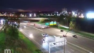





Minneapolis has served as a flour-milling center in Minnesota since the mid-19th century. The Mississippi River and St. Anthony Falls powered the mills that made the city a major producer of flour, a legacy explored at Mill City Museum in the former Washburn A Mill. The Stone Arch Bridge, built for the Great Northern Railway, crosses the river beside the historic milling district. Minneapolis is also one half of the Twin Cities, linked to neighboring Saint Paul by the Mississippi corridor. Trace Minneapolis within the wider Twin Cities area by browsing webcams nearby.
88 webcams
Forests, prairie and a vast lake country define much of Minnesota – these environments sustain farming, recreation and communities accustomed to long, cold winters. The Mississippi River begins at Lake Itasca in the north, then crosses the state on its way south, while Minnesota’s Lake Superior shoreline brings a markedly different, rocky Great Lakes character to the northeast. Minneapolis and Saint Paul form the Twin Cities on the river, the state’s principal urban centre. Minnesota is also home to Dakota and Ojibwe communities whose cultural presence remains central to the region. Move on to other webcams in the region to compare landscapes and settings around Minnesota.
1.2K webcams
The Atlantic, Pacific and Gulf coasts define much of the United States — their ports, fisheries and trade routes have long tied the country’s economy to the wider world. Between them, the Rocky Mountains, Great Plains and Mississippi River basin form sharply different regions, from high western ranges to broad agricultural heartlands. Cities carry much of the national story: New York’s Statue of Liberty, a gift from France dedicated in 1886, remains an enduring symbol, while Washington, DC concentrates major federal institutions. Indigenous nations have shaped these lands for millennia, and their living cultures remain essential to the country’s identity. Find related webcams in the surrounding areas to build a fuller picture of the United States.
32K webcams