 Hudson: I-94: I-94 EB @ Heggen St
Hudson has served as a lumber and river-trade centre in western Wisconsin since the 1840s. On the east bank of the St. Croix River, the city faces Minnesota across a waterway that forms the state boundary. During the nineteenth century, logs from the region’s pine forests made Hudson an important milling and shipping community. Interstate 94 now crosses the St. Croix close to town, tying Hudson to the Twin Cities metropolitan area. The riverfront sits beside a compact downtown of nineteenth-century commercial buildings, while the Phipps Center for the Arts anchors the city’s performing-arts life. Wooded bluffs and riverbanks keep the setting closely connected to the St. Croix valley.
Generated by AI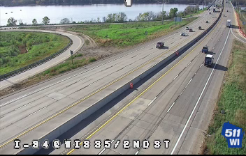



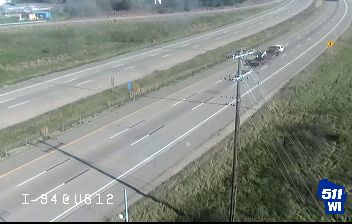

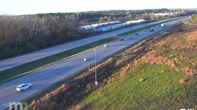

Among the cities of Wisconsin, Hudson stands out for its position on the St. Croix River, opposite Minnesota and within the river valley that defines the state border. The waterfront and Lakefront Park connect the town centre with a broad stretch of water popular for boating, while streets rising from the shore lead into a well-preserved historic district. Hudson developed as a lumber and river-trade community in the 19th century. The Octagon House Museum, built in 1855, recalls that era and is one of the city’s most distinctive historic buildings. Discover other points of interest through webcams located across Hudson and Wisconsin.
3 webcams
Built around Great Lakes shipping, timber, and dairy farming, Wisconsin grew into a Midwestern state with a distinctive industrial and rural identity. Lake Michigan forms its eastern edge, while the Mississippi River marks much of the west; between them lie forests, farms, and thousands of inland lakes. Milwaukee, on Lake Michigan, developed as a major brewing centre, and the state’s dairy tradition remains central to its food culture. In the southwest, the Driftless Area escaped the flattening effects of the last continental glaciation, creating deeply cut river valleys and steep ridges. Find related webcams in the surrounding area to build a fuller picture of Wisconsin.
177 webcams
The Atlantic, Pacific and Gulf coasts define much of the United States — their ports, fisheries and trade routes have long tied the country’s economy to the wider world. Between them, the Rocky Mountains, Great Plains and Mississippi River basin form sharply different regions, from high western ranges to broad agricultural heartlands. Cities carry much of the national story: New York’s Statue of Liberty, a gift from France dedicated in 1886, remains an enduring symbol, while Washington, DC concentrates major federal institutions. Indigenous nations have shaped these lands for millennia, and their living cultures remain essential to the country’s identity. Find related webcams in the surrounding areas to build a fuller picture of the United States.
32K webcams