 Bystrice nad Pernstejnem: náměstí 5. května
Bystřice nad Pernštejnem has served as a market town in the Bohemian-Moravian Highlands since the Middle Ages. Náměstí 5. května is its traditional civic centre, lined with compact houses whose varied façades reflect the town’s long development. The old town hall recalls the square’s administrative role, while the Church of Saint Lawrence gives the centre a distinctive vertical accent. Bystřice lies in the upland country of the Vysočina Region, near the Svratka River valley, where wooded slopes and farmland shape the wider setting. The town is also a useful base for exploring the Pernštejn area and its medieval castle.
Generated by AI
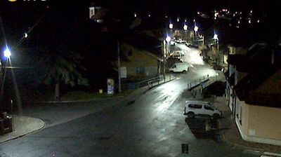
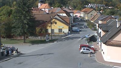



Bystřice nad Pernštejnem sits on the Bystřice River in Czechia’s Vysočina Region, where the rolling Bohemian-Moravian Highlands are cut by wooded valleys. The river is a tributary of the Svratka, linking the town to one of the region’s principal waterways. Bystřice developed within the historic Pernštejn estate, a connection retained in its name and in nearby Pernštejn Castle, a major medieval monument. Masaryk Square forms the compact centre, with the Church of St Lawrence among its enduring landmarks. Browse other webcams across the Vysočina Region to place this highland town in a wider geographic context.
2 webcams
The terrain of Kraj Vysočina ranges from rolling uplands in its central and northern districts to river-cut valleys in the south, giving the region a distinctly rural character. Set across the Bohemian-Moravian Highlands, it lies on the historic meeting ground of Bohemia and Moravia. The Sázava and Jihlava are among its principal rivers, threading through woods, fields and small settlements. Its cultural map has remarkable depth: Třebíč’s Jewish Quarter and Basilica of St Procopius form a UNESCO World Heritage property, while the historic centre of Telč is listed separately. Jihlava, the regional capital, provides an urban counterpoint to the surrounding highland countryside. Explore nearby webcam locations that provide complementary perspectives on Kraj Vysočina.
64 webcams
The terrain of Czechia ranges from fertile lowlands in southern Moravia to mountain ridges along the northern frontier, giving this Central European country a distinctly varied geography. The Vltava runs through Prague before joining the Elbe, while the Krkonoše form part of the border with Poland and include Sněžka, Czechia’s highest mountain. Prague’s historic centre, with Prague Castle and Charles Bridge, reflects the city’s long role as a political and cultural centre. Beyond the capital, Bohemia is known for spa towns and brewing, and Moravia for wine-growing traditions. View additional webcams nearby to better understand how Czechia relates to its Central European surroundings.
1.4K webcams