 Salt Lake City
 combines a broad, orderly urban grid with a dramatic mountain setting in a way that reflects its position between the Wasatch Range and the Great Salt Lake. Interstate 80 crosses the city’s western side near rail corridors, warehouses and residential districts, passing south of downtown. The city was founded by Mormon pioneers in 1847 and remains the headquarters of the Church of Jesus Christ of Latter-day Saints; Temple Square is its best-known historic precinct. The Salt Lake Valley opens westward toward the lake, while the Wasatch Front concentrates Utah’s largest urban communities along the foothills. This stretch of I-80 reflects the importance of the route for both commuting and long-distance traffic.
Generated by AI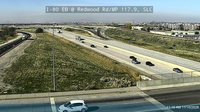
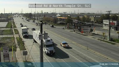
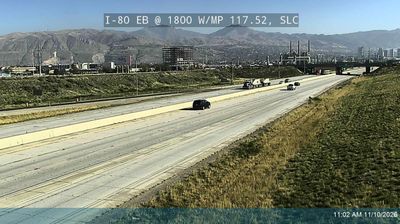

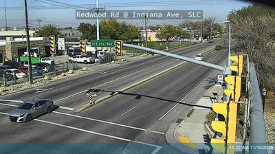
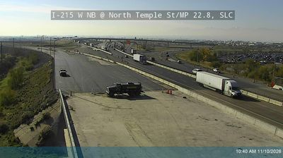
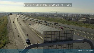
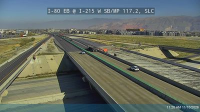
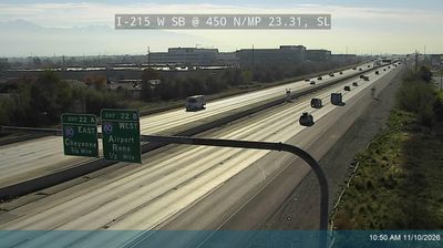

Salt Lake City sits at the base of the Wasatch Range in Utah, where the mountains rise sharply above the broad Salt Lake Valley. Founded by Mormon pioneers in 1847, it remains the headquarters of The Church of Jesus Christ of Latter-day Saints; Temple Square and the Utah State Capitol are among its defining civic landmarks. The city’s wide street grid reflects its early planned layout, while the nearby Great Salt Lake gives the region its name and a distinctive inland setting. Winter sports, hiking and urban cultural institutions all sit within the same metropolitan area. See how Salt Lake City connects with the Wasatch Front and Utah’s wider landscape by browsing webcams nearby.
83 webcams
Utah has functioned as a frontier region within the United States since the mid-19th century. Its terrain spans the Great Basin, the Wasatch Range and the Colorado Plateau, where red-rock canyons and high desert occupy much of the south and east. The Great Salt Lake is the state’s defining inland water body, while the Colorado River has carved some of its most dramatic canyon country. Salt Lake City grew from the 1847 settlement of Mormon pioneers, and Utah entered the Union in 1896. Five national parks, including Zion, Arches and Bryce Canyon, reflect the extraordinary variety of its protected landscapes. Continue through nearby webcams to explore different parts of Utah.
1.1K webcams
The Atlantic, Pacific and Gulf coasts define much of the United States — their ports, fisheries and trade routes have long tied the country’s economy to the wider world. Between them, the Rocky Mountains, Great Plains and Mississippi River basin form sharply different regions, from high western ranges to broad agricultural heartlands. Cities carry much of the national story: New York’s Statue of Liberty, a gift from France dedicated in 1886, remains an enduring symbol, while Washington, DC concentrates major federal institutions. Indigenous nations have shaped these lands for millennia, and their living cultures remain essential to the country’s identity. Find related webcams in the surrounding areas to build a fuller picture of the United States.
32K webcams