 Oakley: I-70 east of - MM 78
Among the towns of western Kansas, Oakley stands out for its role as a crossroads where Interstate 70 meets U.S. Highways 83 and 40. It lies on the High Plains, a broad agricultural region within the Great Plains, where open land and a regular road grid have shaped settlement across northwest Kansas. I-70 is the main east-west interstate through the community, connecting Oakley to the national highway network, while U.S. 83 provides a major north-south route. Oakley is also home to the Buffalo Bill Cultural Center, a local museum focused on the heritage of northwest Kansas. Farmland and long-distance transport remain central to the character of this part of the state.
Generated by AI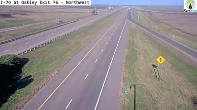

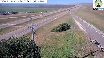
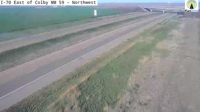
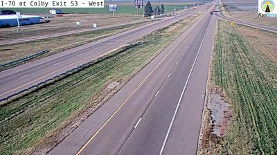

Built around the Kansas Pacific Railway, Oakley grew into the county seat of Logan County on the High Plains of western Kansas. The town stands at the intersection of Interstate 70 and U.S. Route 83, a key crossroads in a region shaped by farming and long-distance travel. South of Oakley, Monument Rocks in Gove County rise from the prairie as weathered chalk formations and hold National Natural Landmark status. Oakley’s Buffalo Bill Cultural Center interprets local heritage and the region’s ties to the American West. Continue through nearby webcams to explore different parts of western Kansas.
2 webcams
The terrain of Kansas ranges from rolling hills in the east to High Plains grassland in the west, creating a broad, open state shaped by prairie and long river valleys. This central area lies within the agricultural heartland, where wheat fields and cattle country extend across the plains. The Arkansas River follows a wide course through central and southern Kansas, while the Flint Hills to the east preserve one of North America’s largest remaining expanses of tallgrass prairie. Kansas also holds an important place in US civil-rights history: the Brown v. Board of Education case began in Topeka. Explore other webcams from the area to see how this part of Kansas connects across the state.
387 webcams
The Atlantic, Pacific and Gulf coasts define much of the United States — their ports, fisheries and trade routes have long tied the country’s economy to the wider world. Between them, the Rocky Mountains, Great Plains and Mississippi River basin form sharply different regions, from high western ranges to broad agricultural heartlands. Cities carry much of the national story: New York’s Statue of Liberty, a gift from France dedicated in 1886, remains an enduring symbol, while Washington, DC concentrates major federal institutions. Indigenous nations have shaped these lands for millennia, and their living cultures remain essential to the country’s identity. Find related webcams in the surrounding areas to build a fuller picture of the United States.
32K webcams