 Ruby: I-80: Milford Exit: East
Ruby combines a quiet rural identity with the industrious character of eastern Nebraska in a way that reflects its position on the Great Plains. This small community lies in the agricultural country of Seward County, near the Big Blue River, whose watershed crosses a broad belt of cultivated land before joining the Kansas River. Fields, farmsteads and straight local roads express the open settlement pattern typical of this part of the state. The wider landscape was transformed by nineteenth-century homesteading after the Homestead Act of 1862, and farming remains central to its identity. Ruby is a useful reference point for the everyday geography between Nebraska’s larger towns: a low-density, productive landscape shaped by water, soil and long-established rural connections.
Generated by AI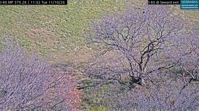


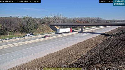
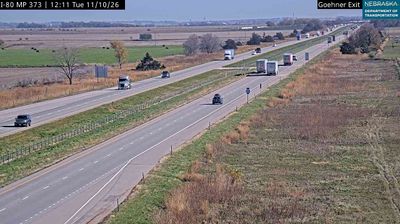
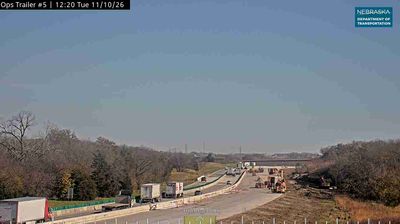

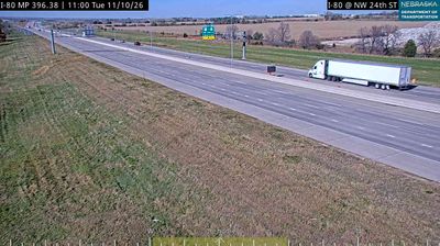
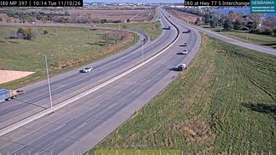

Ruby straddles the Big Blue River in southeastern Nebraska, where the river’s low valley has shaped a rural pattern of farms and scattered settlements. This small locality is in Seward County, part of a broad agricultural region where corn and soybean fields define much of the open terrain. The Big Blue continues south toward Kansas, while shelterbelts, farm roads and gently rolling ground characterize the area around Ruby. Nearby Seward, the county seat, is widely known for its major annual Fourth of July celebration, which draws visitors from across Nebraska. View additional webcams nearby to better understand how Ruby’s Big Blue River setting relates to the wider Nebraska landscape.
2 webcams
Nebraska occupies a broad central stretch of the Great Plains in the United States. The Platte River crosses its southern half, its wide valley long serving as a natural east–west corridor through the prairie. In the north, the Nebraska Sandhills form one of the world’s largest areas of grass-stabilized sand dunes, while western Nebraska becomes drier and more rugged. Much of the Oregon Trail followed the Platte River corridor, linking the state to the great nineteenth-century migration west. Today, working farms, ranches, university cities and expansive open country all remain central to Nebraska’s identity. Explore other webcams in Nebraska to compare prairie, river-valley and Sandhills settings around the state.
328 webcams
The Atlantic, Pacific and Gulf coasts define much of the United States — their ports, fisheries and trade routes have long tied the country’s economy to the wider world. Between them, the Rocky Mountains, Great Plains and Mississippi River basin form sharply different regions, from high western ranges to broad agricultural heartlands. Cities carry much of the national story: New York’s Statue of Liberty, a gift from France dedicated in 1886, remains an enduring symbol, while Washington, DC concentrates major federal institutions. Indigenous nations have shaped these lands for millennia, and their living cultures remain essential to the country’s identity. Find related webcams in the surrounding areas to build a fuller picture of the United States.
32K webcams