 Whitla: Hwy 3 (North side of HWY)
The landscape around Whitla is open, semi-arid prairie, which has shaped both the built environment and local life. This small hamlet lies in southeastern Alberta on the Trans-Canada Highway, east of Medicine Hat. Its setting is part of the Canadian Prairies, where cultivated fields, grazing land, fencelines and long straight roads extend across broad, lightly settled terrain. Highway 1 is Canada’s principal east–west highway and gives Whitla its practical connection to larger communities. Formally opened in 1962, the Trans-Canada Highway remains central to this rural corridor. Whitla is defined less by a town centre than by working land and the road crossing it.
Generated by AI
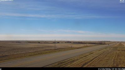
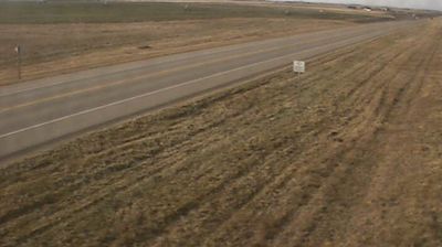

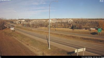
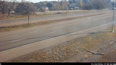
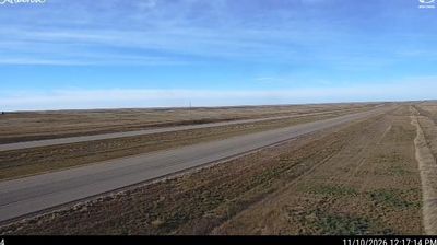

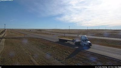
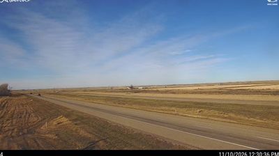

Among Alberta’s communities, Whitla stands out for its quiet setting amid the agricultural plains of Cypress County. This small hamlet lies in southeastern Alberta, within the Canadian Prairies, where grain fields and grassland extend across a largely treeless horizon. Medicine Hat is the nearest regional city, while the Trans-Canada Highway runs south of the settlement, connecting this part of Alberta with Saskatchewan. Whitla reflects the scale of rural prairie life: a place shaped by farming country rather than urban bustle. Find related webcams in Cypress County and southeastern Alberta to build a fuller picture of Whitla’s prairie setting.
3 webcams
Among Canada’s provinces, Alberta stands out for its transition from the Canadian Rockies through prairie to the boreal forest of the north. The province’s western edge is defined by the Rocky Mountains, while the Athabasca and Peace river systems drain vast northern areas. This location lies in northwestern Alberta, where forests, wetlands and communities linked to the energy sector shape the interior. Banff and Jasper national parks protect renowned mountain country, including the Columbia Icefield. Cree, Blackfoot, Dene and Métis communities are integral to Alberta’s cultural fabric. Calgary’s Stampede, first held in 1912, remains the province’s best-known celebration of western heritage. Discover other points of interest through webcams located across Alberta.
354 webcams
Canada has served as a frontier between French and British colonial powers since the 17th century. The world’s second-largest country extends from Atlantic shores to the Pacific and Arctic coasts, with the Canadian Shield, the Rocky Mountains, the Great Lakes and the St. Lawrence River shaping its vast geography. First Nations, Inuit and Métis peoples are central to Canada’s identity, while Ottawa’s Parliament Hill represents its federal political life. French remains the official language of Quebec, adding a distinct dimension to the country’s public culture. See how Canada connects across North America by browsing webcams in neighbouring regions.
3.5K webcams