 Bowden: Hwy 2 (East side of HWY)
Bowden sits on the Canadian Prairies in central Alberta, where the Queen Elizabeth II Highway links Calgary and Edmonton. This small community in Red Deer County lies amid an agricultural district of fields, pasture and shelterbelts, on the broad, open terrain of Alberta’s central plains. Highway 2 is the province’s principal north–south road corridor, carrying intercity traffic through central Alberta. In 2005, Alberta renamed the route the Queen Elizabeth II Highway in honour of Queen Elizabeth II. Bowden’s compact streets contrast with the divided highway and working farmland around it, illustrating how settlement, agriculture and long-distance travel meet in this part of the province.
Generated by AI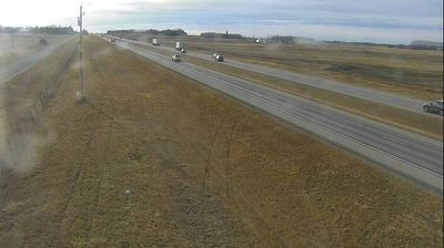
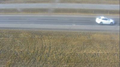
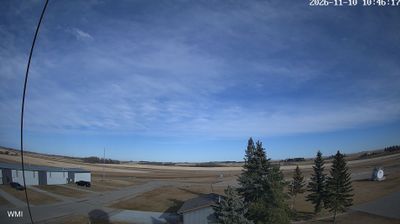


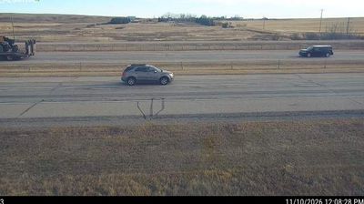
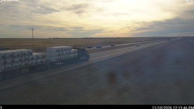

Among the towns of central Alberta, Bowden stands out for its position beside the Queen Elizabeth II Highway in the province’s parkland belt. It lies in Red Deer County, amid a farming district where grain fields and pasture meet groves typical of the Aspen Parkland, the broad ecological zone between the prairies and boreal forest. Bowden developed alongside the railway, and the Bowden Pioneer Museum keeps the local story in focus through artifacts from the settlement of the surrounding district. This is a small, service-oriented community on one of Alberta’s principal north–south routes, with Calgary to the south and Red Deer to the north. Browse additional webcams from the surrounding area to extend your view of central Alberta.
3 webcams
Among Canada’s provinces, Alberta stands out for its transition from the Canadian Rockies through prairie to the boreal forest of the north. The province’s western edge is defined by the Rocky Mountains, while the Athabasca and Peace river systems drain vast northern areas. This location lies in northwestern Alberta, where forests, wetlands and communities linked to the energy sector shape the interior. Banff and Jasper national parks protect renowned mountain country, including the Columbia Icefield. Cree, Blackfoot, Dene and Métis communities are integral to Alberta’s cultural fabric. Calgary’s Stampede, first held in 1912, remains the province’s best-known celebration of western heritage. Discover other points of interest through webcams located across Alberta.
354 webcams
Canada has served as a frontier between French and British colonial powers since the 17th century. The world’s second-largest country extends from Atlantic shores to the Pacific and Arctic coasts, with the Canadian Shield, the Rocky Mountains, the Great Lakes and the St. Lawrence River shaping its vast geography. First Nations, Inuit and Métis peoples are central to Canada’s identity, while Ottawa’s Parliament Hill represents its federal political life. French remains the official language of Quebec, adding a distinct dimension to the country’s public culture. See how Canada connects across North America by browsing webcams in neighbouring regions.
3.5K webcams