 Dunvegan: Hwy 2 (North side of HWY)
Dunvegan straddles the Peace River in northwestern Alberta, and this river crossing has long shaped its role in the wider Peace region. The community lies beside a broad, deeply cut river corridor, where cultivated slopes meet stands of boreal forest along the banks. Highway 2 crosses the river on the Dunvegan Bridge, an unmistakable suspension structure and a key link through this sparsely settled part of the province. Nearby Dunvegan Provincial Park protects the Historic Dunvegan site, associated with the fur trade and Christian missions that served the Peace River country. Transport history, working farmland and a major northern river give Dunvegan a distinctly regional character.
Generated by AI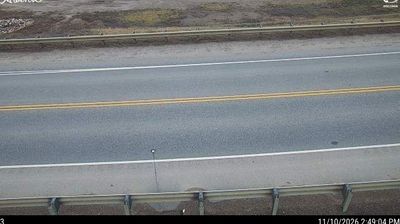
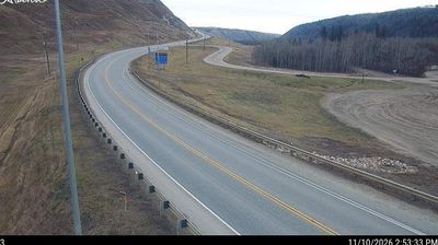
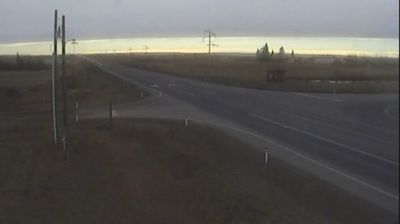

The Peace River defines the setting of Dunvegan — its broad, wooded valley gathers the hamlet, a highway crossing and historic grounds along an important route through northern Alberta. Dunvegan Historic Site recalls a fur-trade post established here in 1805, when the river was a vital transport corridor for the North West Company and later the Hudson’s Bay Company. Dunvegan Provincial Park provides riverbank camping beneath the valley slopes, while the Dunvegan Bridge carries Highway 2 across the Peace. Though small, this is a place where the character of Peace Country is clear: farmland above the valley, forest and water below, and a past shaped by river travel. Explore nearby webcam locations that provide complementary perspectives on Dunvegan and the Peace River country.
3 webcams
Among Canada’s provinces, Alberta stands out for its transition from the Canadian Rockies through prairie to the boreal forest of the north. The province’s western edge is defined by the Rocky Mountains, while the Athabasca and Peace river systems drain vast northern areas. This location lies in northwestern Alberta, where forests, wetlands and communities linked to the energy sector shape the interior. Banff and Jasper national parks protect renowned mountain country, including the Columbia Icefield. Cree, Blackfoot, Dene and Métis communities are integral to Alberta’s cultural fabric. Calgary’s Stampede, first held in 1912, remains the province’s best-known celebration of western heritage. Discover other points of interest through webcams located across Alberta.
354 webcams
Canada has served as a frontier between French and British colonial powers since the 17th century. The world’s second-largest country extends from Atlantic shores to the Pacific and Arctic coasts, with the Canadian Shield, the Rocky Mountains, the Great Lakes and the St. Lawrence River shaping its vast geography. First Nations, Inuit and Métis peoples are central to Canada’s identity, while Ottawa’s Parliament Hill represents its federal political life. French remains the official language of Quebec, adding a distinct dimension to the country’s public culture. See how Canada connects across North America by browsing webcams in neighbouring regions.
3.5K webcams