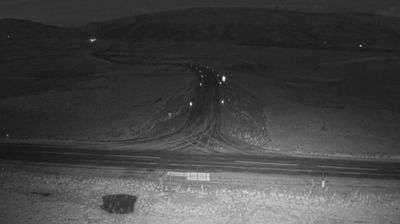
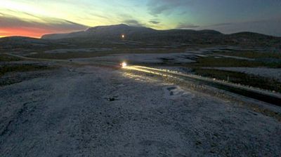
Southern Region: Gjábakki
2 64.25°, -21.02°
Iceland’s Southern Region extends from the Atlantic coast to the Vatnajökull ice cap, encompassing black-sand shores, glacial outwash plains and volcanic highlands. This broad part of the country is crossed by rivers descending from the interior, including the Þjórsá, Iceland’s longest river. Vatnajökull National Park protects extensive glacier and volcanic terrain, while the south coast bears the marks of eruptions, floods and ocean weather. Þingvellir, a UNESCO World Heritage Site, is where the Alþingi, Iceland’s parliament, first assembled in 930. Farms and small towns lie between mountains and sea, in a region where conditions can change rapidly. Continue through nearby webcams to explore different parts of Iceland’s Southern Region.
Generated by AI Nearby webcams