 Dunwich: Mt. Hotham -> Facing East
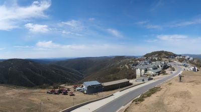
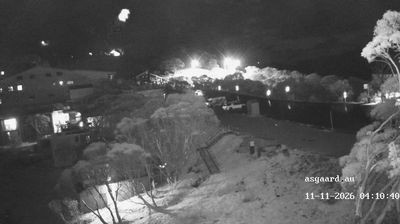
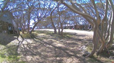
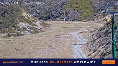
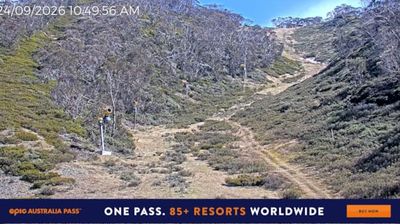
Built around the Great Alpine Road and Mount Hotham’s ski slopes, Hotham Heights grew into one of Victoria’s leading alpine resorts. The settlement stands on a high ridge in the Victorian Alps, part of the Great Dividing Range, with Mount Hotham reaching 1,862 metres. Rather than clustering around one main street, its lodges, lifts and services extend along the road linking the Ovens Valley with Gippsland. The Hotham Heights Chalet opened in 1951, helping establish a destination shaped by Australian skiing. Mount Hotham also provides access to the surrounding Alpine National Park, where ridgelines and snow-gum woodland define Victoria’s High Country.
Generated by AI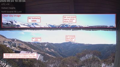
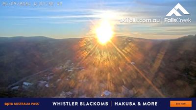
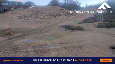

Set along the western shore of North Stradbroke Island in Moreton Bay, Dunwich is a place whose character is shaped by its position between island bushland and the sheltered waters facing Brisbane. It is the principal settlement on Minjerribah, part of Quandamooka Country, where the Quandamooka people maintain enduring connections to land and sea. Dunwich’s layered colonial past includes its use as a quarantine station and as the site of the Dunwich Benevolent Asylum; the historic cemetery recalls that institutional era. Ferries make the town a practical arrival point for the island, while nearby roads lead toward beaches, wetlands and coastal communities. Place Dunwich in its Moreton Bay setting by browsing webcams around North Stradbroke Island.
2 webcams
Queensland extends from Torres Strait in the north to the New South Wales border in the south, encompassing a tropical coastline and a vast, dry interior. Along the Coral Sea, the Great Barrier Reef runs beside the state’s eastern shore, while inland plains, grazing country and long distances define much of central and western Queensland. This location lies in the interior, where settlements are widely spaced and open outback horizons contrast with the humid coast. Queensland is home to Aboriginal and Torres Strait Islander peoples, whose enduring connections to Country underpin its cultural identity. Browse additional webcams from central Queensland to extend your view of the state’s interior.
469 webcams
Australia’s terrain extends from tropical rainforests in the northeast to arid plains in the interior, producing dramatic climatic contrasts. The Great Dividing Range follows much of the eastern coast, while the Great Barrier Reef lies off Queensland in the Coral Sea and Uluru rises from the central desert. Aboriginal and Torres Strait Islander peoples maintain living cultures whose connections to Country long predate European settlement. In Sydney, the sail-like Opera House, completed in 1973, stands beside one of the world’s best-known harbours. Discover further points of interest through webcams located across Australia.
1.5K webcams