 South Huntingdon Township
 combines a wooded river-valley setting with a major interstate route in a way that reflects its position in western Pennsylvania. The township lies in Westmoreland County, where Interstate 70 follows a transport corridor near the Youghiogheny River. Forested slopes and scattered development give this section of the Allegheny Plateau a markedly different character from the dense urban fabric of nearby Pittsburgh. I-70 forms part of the national interstate network established under the Federal-Aid Highway Act of 1956, linking this rural municipality to long-distance travel across the region. The Youghiogheny, a tributary of the Monongahela River, remains the defining watercourse of the local valley.
Generated by AI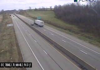
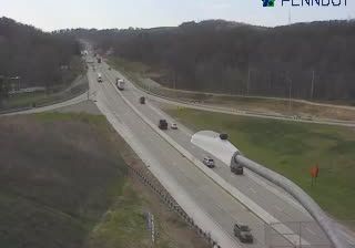
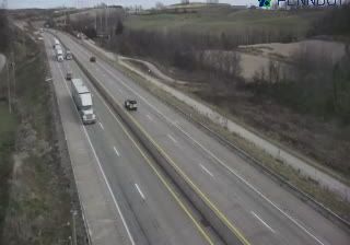
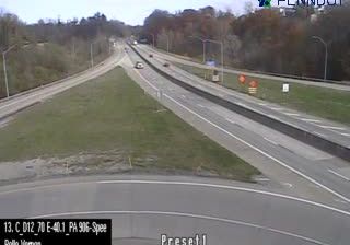

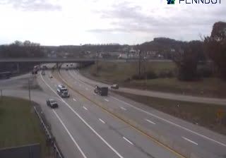
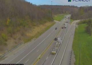
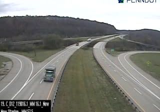
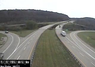


South Huntingdon Township lies along the Youghiogheny River in Westmoreland County, where wooded Allegheny Plateau ridges meet farmland and small rural communities. The river valley places the township within southwestern Pennsylvania’s historic corridor between Pittsburgh and the Laurel Highlands. Coal mining and railroads shaped settlement across this part of the county during the 19th and 20th centuries, a legacy shared by communities along the Youghiogheny. The Great Allegheny Passage follows the river valley nearby, linking cyclists and walkers with former industrial routes. Move on to other webcams in southwestern Pennsylvania to compare landscapes and settings around the Youghiogheny Valley.
2 webcams
Pennsylvania stretches from the shore of Lake Erie to the Delaware River, encompassing Appalachian ridges, plateaus and broad river valleys. Near the state’s geographic centre, the West Branch Susquehanna and its tributaries run through forested country, while the main Susquehanna continues south towards Chesapeake Bay. Philadelphia gives Pennsylvania an enduring place in the story of the United States: Independence Hall was the setting for the adoption of the Declaration of Independence and the signing of the Constitution. Former industrial cities, Amish and Mennonite communities, farms and state forests reveal markedly different sides of the Commonwealth. Discover other points of interest through webcams located across Pennsylvania.
1.5K webcams
The Atlantic, Pacific and Gulf coasts define much of the United States — their ports, fisheries and trade routes have long tied the country’s economy to the wider world. Between them, the Rocky Mountains, Great Plains and Mississippi River basin form sharply different regions, from high western ranges to broad agricultural heartlands. Cities carry much of the national story: New York’s Statue of Liberty, a gift from France dedicated in 1886, remains an enduring symbol, while Washington, DC concentrates major federal institutions. Indigenous nations have shaped these lands for millennia, and their living cultures remain essential to the country’s identity. Find related webcams in the surrounding areas to build a fuller picture of the United States.
32K webcams