 Saint-Pierre: Mount Pelée
Saint-Pierre combines a Caribbean coastal setting with the force of an active volcano in a way that reflects its position on Martinique’s northern shore. Mount Pelée rises to 1,397 metres above the island, a forested stratovolcano whose slopes descend toward the Caribbean Sea. On 8 May 1902, its catastrophic eruption devastated Saint-Pierre, then Martinique’s principal town, killing almost all of its inhabitants. The ruins and the town’s later rebuilding make the volcano inseparable from Saint-Pierre’s identity, while northern Martinique is shaped by steep volcanic terrain, plantations and rainforest.
Generated by AI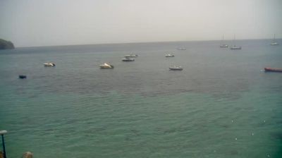
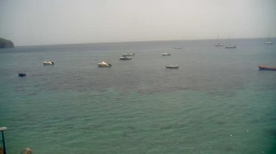

Built around its sheltered Caribbean harbour, Saint-Pierre grew into Martinique’s former colonial capital and a leading port. At the foot of Mount Pelée on the island’s west coast, the town faces the Caribbean Sea and retains a direct connection to the volcano that shaped its fate. On 8 May 1902, an eruption of Mount Pelée destroyed Saint-Pierre, then known as the “Paris of the Caribbean,” killing most of its population. Ruins of the former theatre and the prison cell of survivor Louis-Auguste Cyparis remain part of its memorial landscape. Saint-Pierre is also a departure point for diving among wrecks in the bay. Continue through nearby webcams to explore Martinique’s Caribbean coast.
1 webcam
The terrain of Martinique ranges from volcanic mountains around Mount Pelée in the north to lower, drier hills and indented bays in the south, creating pronounced contrasts in climate and coastline. Set in the Lesser Antilles between the Caribbean Sea and the Atlantic, this French overseas department combines rainforest, cultivated slopes and urban life around Fort-de-France Bay. Mount Pelée's 1902 eruption destroyed Saint-Pierre, a reminder of the island's volcanic forces; the rebuilt town and its ruins remain an important historical reference. Sugarcane cultivation supports Martinique's rhum agricole tradition, while Creole language, food and music reflect Caribbean and French identities. Continue with other webcams from the area to see how this part of Martinique connects regionally.
3 webcams
The Atlantic and Mediterranean coastlines, together with the Alps, Pyrenees and broad river basins, define much of France — they support maritime trade, farming, wine regions and travel throughout the year. The Seine runs through Paris, where the Eiffel Tower and the Louvre are among Europe’s most recognised landmarks. The Loire Valley is known for Renaissance châteaux, while Mont-Saint-Michel rises from a tidal bay in Normandy. Regional food traditions are equally distinctive, from Breton seafood to Provençal cooking, with bread, cheese and wine central to everyday life. France’s global cultural influence is evident in its language, literature, fashion and cinema. View additional webcams nearby to better understand how France’s coasts, plains and mountain borders relate to their surroundings.
2.2K webcams