 Llanfihangel Rogiet
 lies between the Severn Estuary and the low hills of Monmouthshire in southeast Wales, a position that has placed its fields beside a principal transport corridor between Wales and England. The locality forms part of the Caldicot Levels, a broad, low-lying plain defined by drainage ditches, pasture and long-established settlement. The M4 runs close by on its approach to the Prince of Wales Bridge, opened in 1996 as the Second Severn Crossing, which carries the motorway across the Severn to England. Nearby Rogiet is home to Severn Tunnel Junction station on the South Wales Main Line, reinforcing the area’s role as a transport link while the surrounding lanes remain predominantly agricultural.
Generated by AI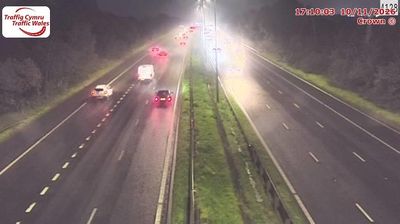
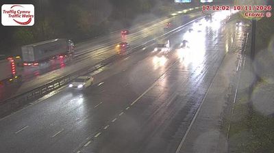




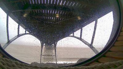
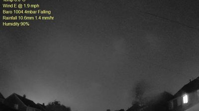

Llanfihangel Rogiet lies along the low-lying Caldicot Levels near the Severn Estuary, where farmland and drainage channels extend across reclaimed wetlands between the Wye and Usk. This part of southeastern Wales forms part of the wider Gwent Levels, a historic coastal plain shaped by tides, embankments and the network of watercourses known locally as reens. The Welsh place name means “St Michael’s church”, preserving the parish’s religious origin. Explore additional webcams nearby to understand how Llanfihangel Rogiet connects with the Severn Estuary and the Gwent Levels.
1 webcam
Wales occupies a mountainous western peninsula of Great Britain in the United Kingdom. The Cambrian Mountains shape much of its interior, while Cardigan Bay opens onto the Irish Sea and the Severn and Wye have their sources in the Welsh uplands. In the north, Eryri National Park includes Yr Wyddfa, Wales’s highest summit at 1,085 metres. Welsh remains a living national language, heard alongside English, and the annual National Eisteddfod celebrates literature, music and performance. Browse further webcams from Wales to see how this part of Great Britain links with surrounding regions.
71 webcams
The United Kingdom combines long-established institutions with sharply varied regional identities in a way that reflects its position within northwestern Europe. England, Scotland, Wales and Northern Ireland share a state while retaining distinct traditions, languages and landscapes. The River Thames runs through London, where the Palace of Westminster and the Tower of London mark centuries of national life; Edinburgh’s Old and New Towns are UNESCO-listed. The Highlands, Eryri’s mountains and Atlantic-facing coasts contrast with the densely settled southeast. Football, theatre, pub culture and music remain everyday threads in a country with global cultural influence. View additional webcams nearby to better understand how the United Kingdom relates to its Atlantic and European surroundings.
1.3K webcams