 Killington: Killington Peak
Among the places of Vermont’s Green Mountains, Killington stands out for a resort landscape shaped by skiing, golf and forested ridges. The Clubhouse Grill belongs to Killington Golf Course, an 18-hole layout set amid the slopes and woods near the resort. Its setting reflects a broader local pattern: recreation facilities occupy open ground while the Green Mountains form the surrounding horizon. Killington is best known for Killington Resort, whose ski operations began in 1958 and helped establish the town as one of New England’s major mountain destinations. The area also supports hiking and mountain biking, with the golf course adding a quieter counterpart to the resort’s lift-served terrain.
Generated by AI
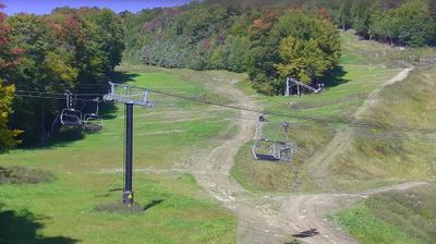

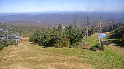
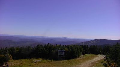

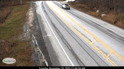
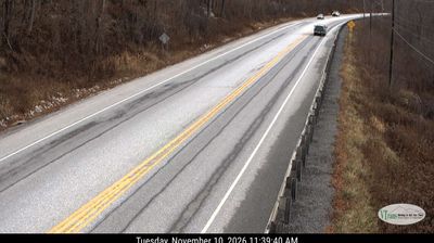
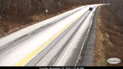
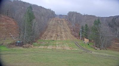

The Green Mountains define the setting of Killington — forested slopes and a long winter season shape a community where mountain roads, trailheads and ski infrastructure are part of everyday life. Killington Peak, at 4,229 feet, is Vermont’s second-highest summit, and the Long Trail and Appalachian Trail cross the surrounding high country. Killington Resort opened in 1958 and helped establish the town as a major New England winter-sports destination; warmer months bring hikers and mountain bikers to the same terrain. Discover how Killington connects with central Vermont by browsing webcams nearby.
11 webcams
Vermont is best known in the United States for the Green Mountains, the north–south range that gives the state its defining wooded backbone. These coordinates lie in north-central Vermont, where rolling uplands and narrow valleys lead toward the Lamoille River. Mount Mansfield, rising to 4,393 feet (1,339 metres), is the state’s highest peak and stands farther west in the same mountain region. Lake Champlain forms much of Vermont’s western edge, while the Connecticut River traces its border with New Hampshire. Maple sugaring is a defining seasonal tradition, and Vermont is the nation’s leading maple-syrup producer. Explore nearby places to better understand how north-central Vermont relates to the Green Mountains, river valleys and Lake Champlain.
195 webcams
The Atlantic, Pacific and Gulf coasts define much of the United States — their ports, fisheries and trade routes have long tied the country’s economy to the wider world. Between them, the Rocky Mountains, Great Plains and Mississippi River basin form sharply different regions, from high western ranges to broad agricultural heartlands. Cities carry much of the national story: New York’s Statue of Liberty, a gift from France dedicated in 1886, remains an enduring symbol, while Washington, DC concentrates major federal institutions. Indigenous nations have shaped these lands for millennia, and their living cultures remain essential to the country’s identity. Find related webcams in the surrounding areas to build a fuller picture of the United States.
32K webcams