 Chungju
Few places in North Chungcheong have a history as closely tied to the Namhan River as Chungju-si. Set in central South Korea, the city developed along an inland waterway that connected the middle of the peninsula with the Han River basin. Chungju is now North Chungcheong's second-largest city and a regional centre for administration, education and commerce. Chungju Lake, formed by the Chungju Dam on the Namhan River, extends through the surrounding hills. A more ancient marker is the fifth-century Chungju Goguryeo Stele, an inscribed stone monument associated with the northern kingdom of Goguryeo. Broad boulevards, apartment districts and local businesses give the urban core a contemporary character.
Generated by AI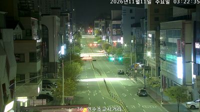
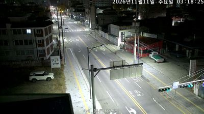
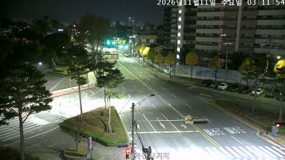
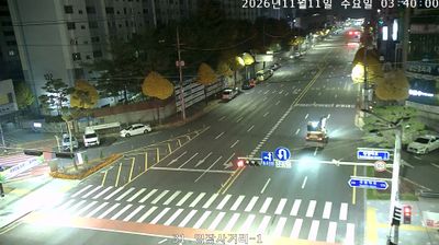

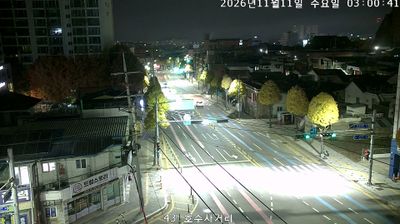
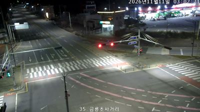



Tucked along the Namhan River in the inland heart of Chungcheongbuk-do, Chungju-si is a place whose character is shaped by its broad waterway and surrounding wooded hills. Chungju Lake, formed by Chungju Dam on the Namhan, lies to the east of the urban centre and has made the area a focus for watersports and recreation by the water. On the riverbank, Tangeumdae is associated with the 1592 Battle of Chungju, a major early clash during the Japanese invasions of Korea. The city is also known in South Korea for apple growing. Browse other webcams across Chungcheongbuk-do and the Namhan River basin to place this setting in a wider geographic context.
25 webcams
Chungcheongbuk-do combines the rhythm of provincial cities with mountain-framed rural country in a way that reflects its position within South Korea’s inland centre. The country’s only province without a coastline, it extends across wooded uplands and farming basins, while the Namhan River and Lake Chungju shape its northern districts. Songnisan National Park is a major walking area and includes Beopjusa, a Buddhist temple with roots in the Silla period. In Cheongju, Jikji was printed at Heungdeoksa in 1377, a landmark in the history of movable metal type. Discover other points of interest through webcams located across Chungcheongbuk-do.
47 webcams
South Korea stretches from the mountainous border with North Korea to Jeju Island, encompassing forested ranges, fertile river basins and a deeply indented southern coast. The Taebaek Mountains run along much of the east, while the Han River crosses Seoul before reaching the Yellow Sea. Busan faces the Korea Strait, and tidal flats and islands shape the country’s western shore. Seoul combines dense contemporary districts with royal Joseon sites, including Gyeongbokgung Palace, first built in 1395. Kimchi and bibimbap are central to everyday cuisine, while the Korean alphabet, Hangeul, was created in the 15th century. Find related webcams in the surrounding area to build a fuller picture of South Korea’s coasts, mountains and cities.
163 webcams