 Korfantow
The Ścinawa Niemodlińska defines the setting of Korfantów — its lowland course gives this Opole Voivodeship town an open character within the Silesian Lowland. Korfantów stands in a part of southern Poland shaped by farmland and a network of smaller historic towns. Its centre is compact rather than monumental, with civic streets, local services and planted public spaces forming the everyday core. The town was known as Friedland before 1945; its current name commemorates Wojciech Korfanty, an important Silesian political figure of the early 20th century. It is a lived-in regional town whose modest scale reflects a quieter side of historic Silesia.
Generated by AI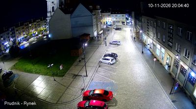


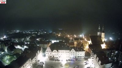




The terrain around Korfantów is predominantly flat, cultivated lowland, which has shaped the town’s compact layout and its agricultural surroundings. Set on the Ścinawa Niemodlińska in Opole Voivodeship, it belongs to the historic Upper Silesian borderland, where Polish, Czech and German influences have long met. Known as Friedland before 1945, the town was renamed for Wojciech Korfanty, a Polish Silesian political leader associated with the region’s turbulent 20th-century history. Its quiet centre provides a useful contrast to the larger urban centres of Opole and Nysa. Continue with other webcams from Opole Voivodeship to trace how this corner of Silesia connects with the wider region.
1 webcam
The terrain of Opole Voivodeship extends from the low, fertile Oder Valley in the north to the foothills of the Sudetes in the south, giving the region a varied yet mostly gentle character. The Oder, Poland’s second-longest river, runs through the regional capital of Opole, a historic Silesian city known for its old town and annual National Festival of Polish Song. South of the city, Mount St Anne is an important pilgrimage destination, while Brzeg is noted for its Renaissance Piast Castle. These places reflect the voivodeship’s position at the meeting point of river plains, uplands and Silesian traditions. Find related webcams in the surrounding area to build a fuller picture of Opole Voivodeship.
24 webcams
Poland stretches from the Baltic Sea coast in the north to the Carpathian Mountains along its southern frontier, encompassing broad lowlands, lake districts and upland ranges. The Vistula, the country’s longest river, links Kraków and Warsaw before reaching the Baltic near Gdańsk, while the Masurian Lake District is defined by a dense network of lakes. Kraków’s historic centre, including Wawel Castle, recalls Poland’s former royal capital; Warsaw’s rebuilt Old Town speaks to the city’s recovery after the Second World War. The Białowieża Forest preserves one of Europe’s last primeval lowland forests and is home to European bison. Follow how Poland’s regions relate to one another by browsing webcams across the country.
711 webcams