 Trzebiatow: Plaża Rewal
The landscape around Rewal is a low Baltic coast of sandy shore and wooded slopes, which has shaped both the built environment and local life. Plaża Rewal belongs to Poland’s West Pomeranian shoreline, where the Baltic Sea meets a compact resort settlement set just above the beach. Pedestrian links connect the village with the sand, while homes, guest accommodation and public spaces occupy the land behind the shore. Rewal is one of a chain of holiday resorts along this stretch of coast. The historic Gryfice Narrow-Gauge Railway also reaches the village, recalling the region’s older local transport network. Its character comes from the close meeting of trees, coastal slope and open sea rather than an urban waterfront.
Generated by AI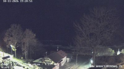





Few towns in West Pomeranian Voivodeship have a history as closely tied to Hanseatic trade as Trzebiatów. Set on the Rega River in Pomerania, the town developed as a medieval trading centre and still retains the compact scale of its old core. Its Gothic town hall and the 14th-century Church of St Mary are reminders of that era, with the church’s tall brick structure defining the centre. Sections of the former defensive walls also survive. The nearby Baltic coast adds another dimension, while the Rega links Trzebiatów to the region’s lowland waterways. Find related webcams in the surrounding area to build a fuller picture of Trzebiatów and West Pomerania.
2 webcams
Among Poland’s voivodeships, West Pomeranian Voivodeship stands out for its Baltic coastline and lake-dotted interior. Its northern edge includes broad beaches, dunes and the islands around Świnoujście, while the Oder estuary and Szczecin Lagoon link the coast with inland waterways. Farther east and south, forests and lakes shape areas such as the Drawsko Lake District. Szczecin, the regional capital, retains the Pomeranian Dukes’ Castle, a reminder of the city’s long role as a Baltic port. Move on to other webcams in the region to compare coastal, lake-district and city settings around West Pomeranian Voivodeship.
47 webcams
Poland stretches from the Baltic Sea coast in the north to the Carpathian Mountains along its southern frontier, encompassing broad lowlands, lake districts and upland ranges. The Vistula, the country’s longest river, links Kraków and Warsaw before reaching the Baltic near Gdańsk, while the Masurian Lake District is defined by a dense network of lakes. Kraków’s historic centre, including Wawel Castle, recalls Poland’s former royal capital; Warsaw’s rebuilt Old Town speaks to the city’s recovery after the Second World War. The Białowieża Forest preserves one of Europe’s last primeval lowland forests and is home to European bison. Follow how Poland’s regions relate to one another by browsing webcams across the country.
717 webcams