 Gabin
The lowland plains of Mazovia define the setting of Gąbin — open terrain around the town gives its centre a measured, low-rise character rather than a skyline shaped by hills. Situated west of Warsaw in the historic region of Mazovia, Gąbin is organized around a traditional market-square core and radiating streets. The Parish Church of St Nicholas forms part of its long-established religious landscape, while civic buildings and older townhouses express the scale of a local Polish town. Mazovia was incorporated into the Polish Crown in 1526, and Gąbin remains part of that wider historical region. Its central streets combine daily commerce, public services and the steady movement of town life.
Generated by AI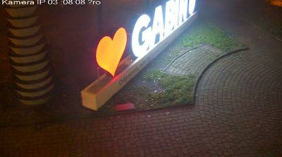


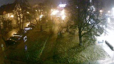


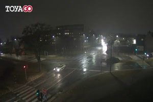
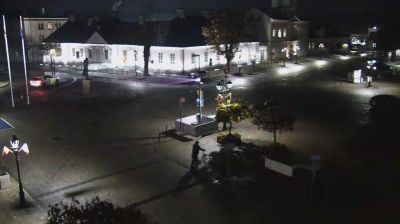

Gąbin is best known in Masovian Voivodeship for its municipal tradition, which began with town rights granted in 1437. Situated in the low-lying central Polish plain south of the Vistula, it forms part of historic Mazovia and lies in Płock County. Its compact centre reflects a long role as a local market and service town for the surrounding agricultural area. Before the Second World War, Gąbin had a substantial Jewish community; the Holocaust irrevocably changed this part of the town’s identity. Today, it provides a quieter counterpoint to nearby Płock and an insight into the everyday rhythm of a small Masovian town. Continue through nearby webcams to explore different parts of Gąbin and Masovian Voivodeship.
5 webcams
Masovian Voivodeship combines the metropolitan momentum of Warsaw with the open character of river plains in a way that reflects its position within Poland’s central lowlands. The Vistula runs through the region and past the capital, whose historic centre was rebuilt after the Second World War and is listed by UNESCO. Beyond Warsaw, Masovia spreads into farmland, woodland and smaller towns, with the Bug and Narew among the waterways shaping its eastern and northern reaches. This is Poland’s political centre, but regional customs also endure in local food, music and seasonal events. Explore nearby locations that provide complementary perspectives on Masovia.
36 webcams
Poland stretches from the Baltic Sea coast in the north to the Carpathian Mountains along its southern frontier, encompassing broad lowlands, lake districts and upland ranges. The Vistula, the country’s longest river, links Kraków and Warsaw before reaching the Baltic near Gdańsk, while the Masurian Lake District is defined by a dense network of lakes. Kraków’s historic centre, including Wawel Castle, recalls Poland’s former royal capital; Warsaw’s rebuilt Old Town speaks to the city’s recovery after the Second World War. The Białowieża Forest preserves one of Europe’s last primeval lowland forests and is home to European bison. Follow how Poland’s regions relate to one another by browsing webcams across the country.
718 webcams