 Wohlen bei Bern
Tucked between the Aare valley and the rolling plateau north of Bern, Wohlen bei Bern is a place whose character is shaped by cultivated fields and scattered rural settlements. The municipality extends across a broad, gently undulating area west of the Swiss capital, where housing clusters stand among farmland and wooded strips. To the south, the Aare is held in the Wohlensee reservoir, a long lake created by the Mühleberg dam. Wohlen is made up of several localities, including its eponymous village, Hinterkappelen and Uettligen, rather than a single dense centre. This is a settled Bernese landscape of everyday village life, with Bern close enough to influence its rhythm without erasing its rural structure.
Generated by AI

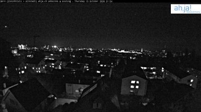
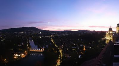
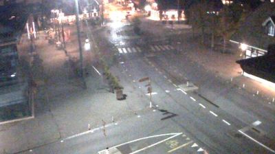
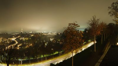


Wohlen bei Bern is best known within the canton of Bern for Wohlensee, an Aare reservoir created by the Mühleberg dam. The municipality lies northwest of the federal city of Bern, although its territory is not a single built-up place: fields, wooded slopes and settlements such as Hinterkappelen and Uettligen extend across the Bernese Plateau. Here, the Aare broadens into a long reservoir with inlets along its forested banks. The Mühleberg hydroelectric plant began operating in 1920, giving the lake its modern form. Continue through nearby webcams to explore different parts of Wohlen bei Bern and the Bern region.
2 webcams
Built around the Aare River and routes across the Swiss Plateau, Bern grew into a canton connecting the federal capital with the Bernese Oberland. Its territory extends from Jura foothills and farmland through the Aare valley to the high Alps around the Eiger, Mönch and Jungfrau. The city of Bern, Switzerland’s federal capital, preserves an Old Town inscribed on UNESCO’s World Heritage List, while Thun and Interlaken lead towards Lakes Thun and Brienz. Urban institutions, dairy farming and established alpine resorts give the canton a notably broad Swiss character. View additional webcams nearby to better understand how Bern relates to its Alpine and plateau surroundings.
230 webcams
Switzerland stretches from the Jura Mountains in the northwest to the Alps in the south, encompassing a central plateau of cities, farms and lakes. The Rhine rises in the Swiss Alps, while Lake Geneva forms part of the country’s southwestern border. Zürich, Geneva and Basel are major urban centres, yet mountain railways and passes remain central to how many regions are experienced. Four national languages—German, French, Italian and Romansh—reflect Switzerland’s distinct cantonal identities. The Matterhorn above Zermatt is among Europe’s most recognisable peaks, and the 1291 Federal Charter is closely associated with the country’s founding tradition. Continue through nearby webcams to explore different parts of Switzerland.
1.4K webcams