 Lebanon: South Lebanon
Lebanon sits along the Salmon Falls River in southern Maine, United States, where forested uplands meet the New Hampshire state line. This rural York County town spreads across an interior of woods, farms and scattered homes rather than a concentrated downtown. Interstate 95, known here as the Maine Turnpike, runs through its eastern side and forms a major north–south route linking New England with Maine’s coast. The turnpike opened in 1947 and remains central to travel through this part of the state. Lebanon reflects the low-density residential and agricultural character of inland southern Maine, close to the river boundary with New Hampshire.
Generated by AI
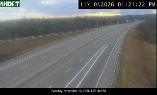
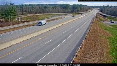
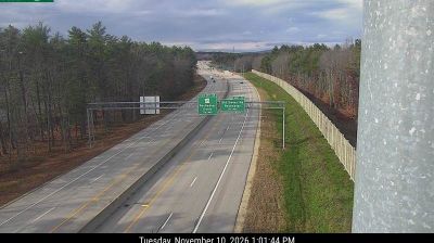

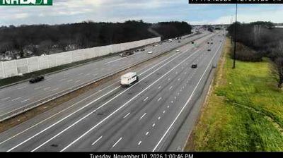
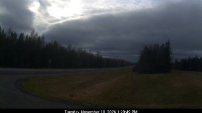


Lebanon lies along the Salmon Falls River on Maine’s border with New Hampshire, a position that has long connected this rural York County town with communities on the opposite bank. The river belongs to the Piscataqua watershed, while local roads cross a predominantly wooded and agricultural interior rather than a dense urban centre. Incorporated in 1767, Lebanon retains the older settlement pattern of southern Maine, with scattered hamlets, working land and quiet country routes. Its location also puts the Atlantic Seacoast region within reach while preserving a distinctly inland character. Discover further points of interest through webcams located across Lebanon and southern Maine.
2 webcams
Atlantic coastline and extensive northern forests define much of Maine - fishing ports, boatbuilding communities and the forest-products industry have long shaped the state’s economy and identity. The Gulf of Maine cuts into a rugged shore of islands, peninsulas and tidal inlets, while the Penobscot River runs from the interior toward Penobscot Bay. Inland, Baxter State Park contains Mount Katahdin, the northern terminus of the Appalachian Trail. Acadia National Park on Mount Desert Island protects granite headlands and coastal woodland. Maritime traditions remain tangible in Maine’s lobster fishery, and Portland Head Light, completed in 1791, stands near Portland as a historic beacon. Browse additional webcams from the surrounding area to extend your view of Maine.
427 webcams
The Atlantic, Pacific and Gulf coasts define much of the United States — their ports, fisheries and trade routes have long tied the country’s economy to the wider world. Between them, the Rocky Mountains, Great Plains and Mississippi River basin form sharply different regions, from high western ranges to broad agricultural heartlands. Cities carry much of the national story: New York’s Statue of Liberty, a gift from France dedicated in 1886, remains an enduring symbol, while Washington, DC concentrates major federal institutions. Indigenous nations have shaped these lands for millennia, and their living cultures remain essential to the country’s identity. Find related webcams in the surrounding areas to build a fuller picture of the United States.
32K webcams