 Port Colborne: Highway 3 at Killaly Street, Looking East
Built around the southern entrance of the Welland Canal, Port Colborne grew into a Lake Erie port city. The canal connects Lake Ontario and Lake Erie, enabling ships to bypass Niagara Falls, and Great Lakes shipping has long shaped the city’s waterfront. Port Colborne stands on the Niagara Peninsula, where Lake Erie’s low shoreline meets older residential streets, harbour activity and industrial land. The Port Colborne Historical and Marine Museum records the community’s ties to navigation on the Great Lakes. Marinas, parks and public waterfront spaces extend beyond the canal, reinforcing the city’s working maritime character.
Generated by AI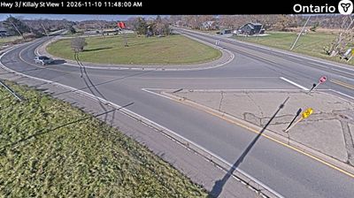
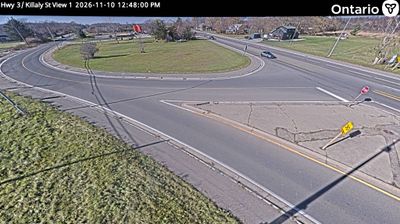

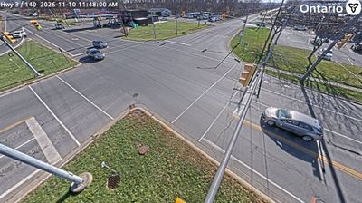
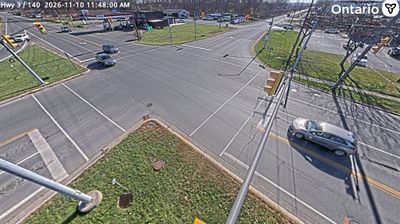



Port Colborne is widely recognised in Ontario for serving as the Lake Erie terminus of the Welland Canal. On the Niagara Peninsula, the city stands where vessels enter or leave the waterway linking Lake Erie with Lake Ontario while bypassing Niagara Falls. The canal gives its harbour a working character: freighters, recreational boats and shore-side facilities share a corridor central to Great Lakes shipping. Lock 8 marks the canal’s southern end, while the waterfront opens onto Lake Erie. Port Colborne’s identity has long been shaped by shipping and industry, a connection celebrated by the Canal Days Marine Heritage Festival. Find related webcams around Niagara and along Lake Erie to build a fuller picture of Port Colborne.
5 webcams
Built around the Great Lakes–St. Lawrence water system, Ontario grew into Canada’s most populous province. Its vast northern interior lies on the Canadian Shield, a terrain of exposed rock, boreal forest and innumerable lakes, while the south concentrates most cities and farms along the Great Lakes. Lake Superior, Lake Huron, Lake Erie and Lake Ontario give the province an exceptional freshwater horizon; Niagara Falls is its best-known natural landmark. Toronto, Ontario’s largest city, is a major cultural and economic centre, while Algonquin Provincial Park, founded in 1893, represents a long tradition of protected wilderness. Move on to other webcams in the region to compare landscapes and settings around Ontario.
1.6K webcams
Canada has served as a frontier between French and British colonial powers since the 17th century. The world’s second-largest country extends from Atlantic shores to the Pacific and Arctic coasts, with the Canadian Shield, the Rocky Mountains, the Great Lakes and the St. Lawrence River shaping its vast geography. First Nations, Inuit and Métis peoples are central to Canada’s identity, while Ottawa’s Parliament Hill represents its federal political life. French remains the official language of Quebec, adding a distinct dimension to the country’s public culture. See how Canada connects across North America by browsing webcams in neighbouring regions.
3.5K webcams