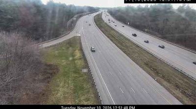
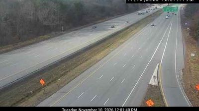
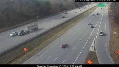
 Haverhill: I-495: I-495-NB-MM106.7 - Ex 107 Rts 110/113: NORTH
Haverhill has served as a shoe-manufacturing centre in the Merrimack Valley since the 19th century. The Merrimack River runs through this northeastern Massachusetts city, whose downtown retains brick mill buildings and commercial blocks from its industrial expansion. Haverhill became one of New England’s leading shoe-making cities, a trade that shaped its economy and neighbourhoods. Poet and abolitionist John Greenleaf Whittier was born here in 1807, and his birthplace is preserved in the city. Interstate 495 crosses Haverhill’s western side, linking the community with Greater Boston and southern New Hampshire. Bradford, on the river’s south bank, forms another historic part of the city.
Generated by AI


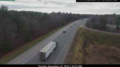
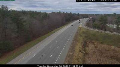
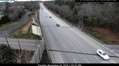
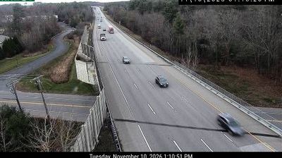

Haverhill has served as a shoe-manufacturing centre in Massachusetts’s Merrimack Valley since the nineteenth century. The Merrimack River runs through the city, shaping its downtown and linking it to the former mill towns of northeastern Massachusetts. Footwear factories once made Haverhill a major American producer, and brick industrial buildings still recall that period along the river. Poet and abolitionist John Greenleaf Whittier was born here; his birthplace is preserved as a historic house museum. Discover Haverhill’s place in the wider Merrimack Valley by exploring webcams from nearby communities.
3 webcams
Massachusetts has served as a colonial heartland within New England since the 17th century. Its terrain extends from the Atlantic coastline of Cape Cod and the islands to the Berkshire Hills in the west, while the Connecticut River runs through broad valley country in the state’s western interior. Boston, the capital, preserves major sites associated with the American Revolution, including the Old State House and the Freedom Trail. Cambridge adds another academic chapter through Harvard University, founded in 1636. Coastal ports, former mill cities and rural inland communities give the state sharply varied local character. Move on to other webcams in the region to compare landscapes and settings around Massachusetts.
202 webcams
The Atlantic, Pacific and Gulf coasts define much of the United States — their ports, fisheries and trade routes have long tied the country’s economy to the wider world. Between them, the Rocky Mountains, Great Plains and Mississippi River basin form sharply different regions, from high western ranges to broad agricultural heartlands. Cities carry much of the national story: New York’s Statue of Liberty, a gift from France dedicated in 1886, remains an enduring symbol, while Washington, DC concentrates major federal institutions. Indigenous nations have shaped these lands for millennia, and their living cultures remain essential to the country’s identity. Find related webcams in the surrounding areas to build a fuller picture of the United States.
32K webcams