 Pembroke: RT-3: Rt3-SB-MM26.7 - Ex 27 Rt 139: SOUTH
Built around early farming and mill settlements, Pembroke grew into a residential town on Massachusetts’ South Shore. Its wooded interior is crossed by Herring Brook, while the North River forms part of the boundary with Marshfield before reaching Massachusetts Bay. Pembroke was incorporated in 1712 from parts of Duxbury, Marshfield and Hanover, and was named for the Earl of Pembroke. Route 3, the Pilgrims Highway, runs through town, linking the South Shore with Boston and Cape Cod. The North River also recalls the area’s shipbuilding past, when its waters supported a major wooden-ship industry.
Generated by AI
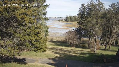
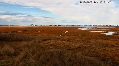
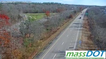


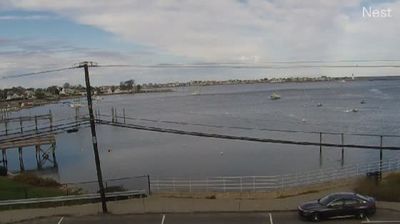




Few towns on Massachusetts’s South Shore have a history as closely tied to wooden shipbuilding on the North River as Pembroke. Incorporated in 1712, Pembroke developed in the watershed where Herring Brook joins the Indian Head River to form the North River. During the eighteenth and nineteenth centuries, the river supported a major regional shipbuilding industry, linking this inland community to Atlantic trade through the river’s route to Massachusetts Bay. Pembroke is now a residential South Shore town, where wooded neighborhoods, ponds and wetlands remain an important part of its setting. Its old river connections give the town a distinct place in the story of coastal Massachusetts. Move on to other webcams across the South Shore to compare coastal and inland settings around Pembroke.
2 webcams
Massachusetts has served as a colonial heartland within New England since the 17th century. Its terrain extends from the Atlantic coastline of Cape Cod and the islands to the Berkshire Hills in the west, while the Connecticut River runs through broad valley country in the state’s western interior. Boston, the capital, preserves major sites associated with the American Revolution, including the Old State House and the Freedom Trail. Cambridge adds another academic chapter through Harvard University, founded in 1636. Coastal ports, former mill cities and rural inland communities give the state sharply varied local character. Move on to other webcams in the region to compare landscapes and settings around Massachusetts.
201 webcams
The Atlantic, Pacific and Gulf coasts define much of the United States — their ports, fisheries and trade routes have long tied the country’s economy to the wider world. Between them, the Rocky Mountains, Great Plains and Mississippi River basin form sharply different regions, from high western ranges to broad agricultural heartlands. Cities carry much of the national story: New York’s Statue of Liberty, a gift from France dedicated in 1886, remains an enduring symbol, while Washington, DC concentrates major federal institutions. Indigenous nations have shaped these lands for millennia, and their living cultures remain essential to the country’s identity. Find related webcams in the surrounding areas to build a fuller picture of the United States.
32K webcams