 Petit-Bourg
Among the places of Guadeloupe, Petit-Bourg stands out for its position on Basse-Terre, between the island’s wooded interior and the busy Pointe-à-Pitre urban area. The commune extends across the eastern side of Basse-Terre, Guadeloupe’s mountainous western island, where roads and residential districts meet dense tropical vegetation. Its territory includes the Domaine de Valombreuse, a botanical garden devoted to the flora of Guadeloupe and the Caribbean. The N1 is part of the principal road corridor linking the Pointe-à-Pitre area with communities farther across Basse-Terre. Petit-Bourg represents a practical, inhabited side of the archipelago, shaped by daily traffic, local development and the green uplands beyond.
Generated by AI
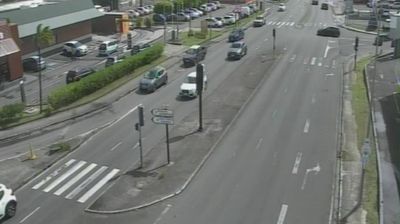
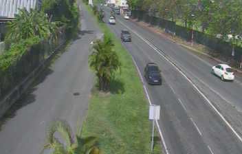
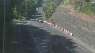
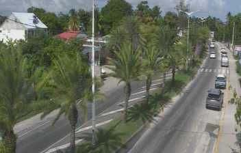
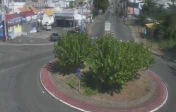
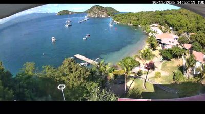

Built around lowland settlements beside the Lézarde River, Petit-Bourg grew into a broad commune on Guadeloupe’s Basse-Terre island. Its territory runs from the humid interior of Guadeloupe National Park toward the mangroves and sheltered waters of the Grand Cul-de-Sac Marin, giving it a markedly greener, less urban character than Pointe-à-Pitre. The Route de la Traversée passes through nearby rainforest, where Cascade aux Écrevisses is a popular waterfall stop. Domaine de Valombreuse, a botanical park, reflects the importance of tropical plants to the island, while banana and sugar-cane cultivation remains part of the surrounding landscape. View additional webcams nearby to better understand how Petit-Bourg and Basse-Terre relate to the coast, forest and marine lagoon.
1 webcam
The terrain of Guadeloupe ranges from volcanic, rainforest-covered slopes on Basse-Terre to drier limestone plains on Grande-Terre, giving the archipelago strongly contrasting island landscapes. La Soufrière, an active volcano within Guadeloupe National Park, dominates Basse-Terre, where humid forests and rivers descend towards the Caribbean Sea. Grande-Terre has a lower, more open character, with coastal settlements facing the Atlantic and the sheltered waters of the Grand Cul-de-Sac Marin. French and Creole influences shape everyday life; Guadeloupe has been an overseas department of France since 1946. Continue with other webcams from the area to see how this part of the Guadeloupe archipelago connects regionally.
8 webcams
The Atlantic and Mediterranean coastlines, together with the Alps, Pyrenees and broad river basins, define much of France — they support maritime trade, farming, wine regions and travel throughout the year. The Seine runs through Paris, where the Eiffel Tower and the Louvre are among Europe’s most recognised landmarks. The Loire Valley is known for Renaissance châteaux, while Mont-Saint-Michel rises from a tidal bay in Normandy. Regional food traditions are equally distinctive, from Breton seafood to Provençal cooking, with bread, cheese and wine central to everyday life. France’s global cultural influence is evident in its language, literature, fashion and cinema. View additional webcams nearby to better understand how France’s coasts, plains and mountain borders relate to their surroundings.
2.2K webcams