 Saint-Lumine-de-Coutais
 combines a compact village centre with open agricultural land in a way that reflects its position south of Lac de Grand-Lieu. This low-lying part of Loire-Atlantique belongs to the wider Grand-Lieu wetland country, where fields, hedges and small woodland plots meet the basin of one of France’s largest natural lakes. Lac de Grand-Lieu is internationally important for birdlife and is subject to extensive protection, giving the surrounding communes a landscape shaped as much by water management as by farming. Within the settlement, the parish church and close-knit residential streets provide a civic counterpoint to the rural plain. Saint-Lumine-de-Coutais sits in Pays de la Loire, southwest of Nantes, in an area whose everyday rhythm remains closely linked to its farmland and wetlands.
Generated by AI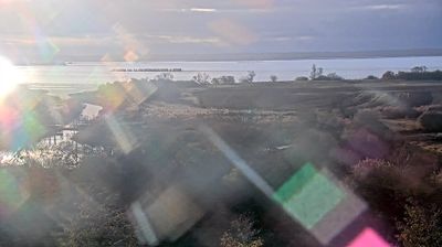
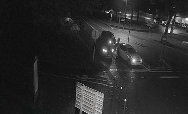
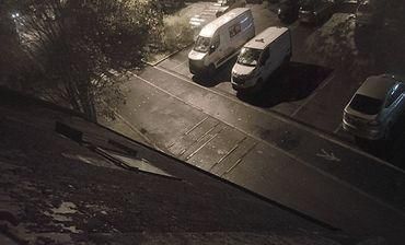
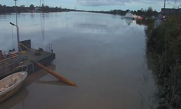
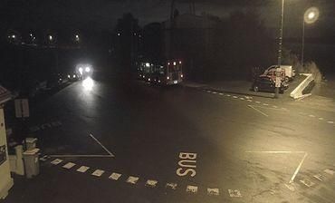
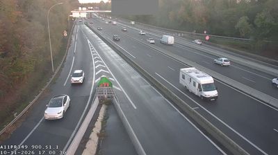

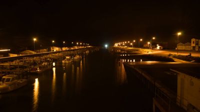
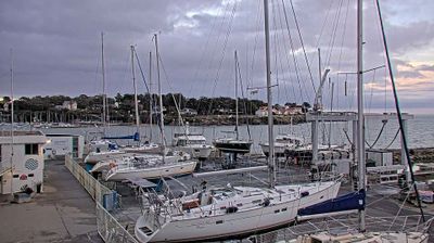

Saint-Lumine-de-Coutais is best known in Pays de la Loire for its close relationship with Lac de Grand-Lieu, a vast freshwater lake and wetland south-west of Nantes. The commune lies in Pays de Retz, the historic territory south of the Loire, where farmland, hedgerows and small settlements define the local setting. Grand-Lieu is renowned for its birdlife, while the protection of much of its shoreline helps preserve a quiet rural atmosphere. The parish church remains a focal point in Saint-Lumine-de-Coutais, whose roads lead toward Nantes and the wider Loire-Atlantique countryside. Continue through nearby webcams to explore different parts of Saint-Lumine-de-Coutais and the Grand-Lieu area.
1 webcam
The Loire River defines much of Pays de la Loire — its broad valley has long supported vineyards, market gardening and river towns. This western French region extends from the Atlantic coast to inland farmland and includes Nantes, Angers, Le Mans and the Vendée. In Angers, the medieval Château d’Angers holds the Apocalypse Tapestry, a major late-medieval work commissioned by Louis I, Duke of Anjou. Nantes developed as an important Loire port, while the river is also followed by the Loire à Vélo cycling route. Continue through nearby webcams to explore different parts of Pays de la Loire.
79 webcams
The Atlantic and Mediterranean coastlines, together with the Alps, Pyrenees and broad river basins, define much of France — they support maritime trade, farming, wine regions and travel throughout the year. The Seine runs through Paris, where the Eiffel Tower and the Louvre are among Europe’s most recognised landmarks. The Loire Valley is known for Renaissance châteaux, while Mont-Saint-Michel rises from a tidal bay in Normandy. Regional food traditions are equally distinctive, from Breton seafood to Provençal cooking, with bread, cheese and wine central to everyday life. France’s global cultural influence is evident in its language, literature, fashion and cinema. View additional webcams nearby to better understand how France’s coasts, plains and mountain borders relate to their surroundings.
2.2K webcams