 North Olmsted: I-480 at Stearns Rd, 3139
Among the communities of northeastern Ohio, North Olmsted stands out for its position between suburban Cleveland and the region’s airport-and-highway corridor. Interstate 480 crosses the city, linking west-side neighborhoods with major routes around Greater Cleveland, while Cleveland Hopkins International Airport lies immediately to the east. Lake Erie is a short distance north and shapes the wider geography of the western suburbs. North Olmsted grew from Olmsted Township, established in 1815, and its early settlement is interpreted at the Frostville Museum, a collection of relocated 19th-century buildings. Today, the city combines residential districts, commercial corridors and extensive road connections.
Generated by AI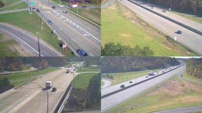
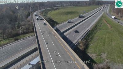
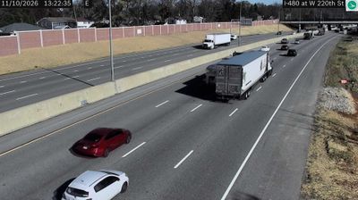
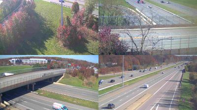
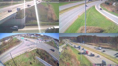
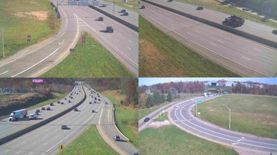
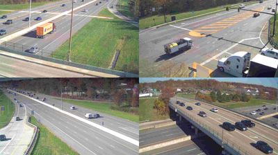
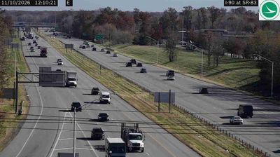
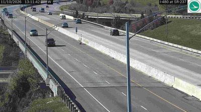
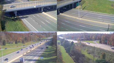

North Olmsted sits near the Rocky River in northeastern Ohio, where Cleveland’s western suburbs meet the wooded corridor of the Cleveland Metroparks. Part of Greater Cleveland, the city lies a short distance south of Lake Erie, with central Cleveland farther east. Frostville Museum, within Rocky River Reservation, preserves relocated 19th-century buildings and interprets the area’s early settlement. Residential neighborhoods and retail districts define much of modern North Olmsted, while the river reservation adds trails and a quieter counterpoint. Browse additional webcams from the Cleveland area to extend your view of northeastern Ohio.
2 webcams
Built around the Ohio River corridor and Lake Erie trade routes, Ohio grew into a major state of the American Midwest. Its terrain extends from the Appalachian foothills in the southeast across fertile central plains to Lake Erie’s northern shore, while the Cuyahoga River passes through Cleveland before entering the lake. Columbus, the state capital, stands near the centre of the state. Cincinnati developed along the Ohio River, and Cleveland’s Rock and Roll Hall of Fame marks the city’s place in American music. Dayton is closely linked with the Wright brothers and the early history of powered flight. Browse additional webcams from the surrounding area to extend your view of Ohio.
1.1K webcams
The Atlantic, Pacific and Gulf coasts define much of the United States — their ports, fisheries and trade routes have long tied the country’s economy to the wider world. Between them, the Rocky Mountains, Great Plains and Mississippi River basin form sharply different regions, from high western ranges to broad agricultural heartlands. Cities carry much of the national story: New York’s Statue of Liberty, a gift from France dedicated in 1886, remains an enduring symbol, while Washington, DC concentrates major federal institutions. Indigenous nations have shaped these lands for millennia, and their living cultures remain essential to the country’s identity. Find related webcams in the surrounding areas to build a fuller picture of the United States.
32K webcams