 Lorient: Port de Plaisance de Lorient
Port de Plaisance de Lorient lies along the sheltered Rade de Lorient, an inlet on Brittany’s south coast shaped by the Scorff and Blavet rivers. It forms part of a working waterfront where pleasure craft share the harbour with fishing, commercial shipping and ocean-racing activity. Lorient was founded in 1666 for the French East India Company, whose trade with Asia gave the city its name. Much of the city was rebuilt after the Second World War, while the former Keroman submarine base remains a reminder of its wartime role. Today the marina stands close to the centre of a maritime city known for sailing and its annual Interceltic Festival.
Generated by AI
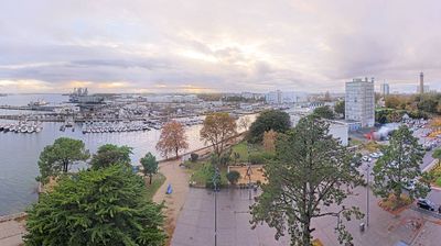


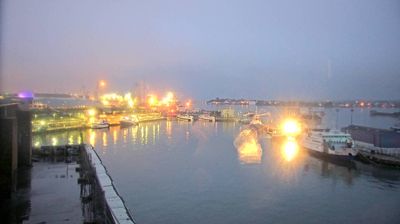
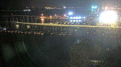
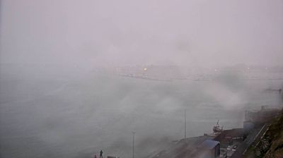
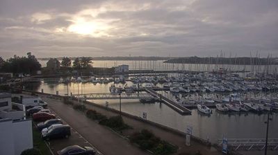
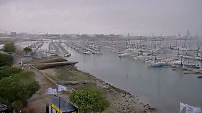

Lorient balances the hard-working character of an Atlantic port with Brittany’s living Celtic traditions, reflecting its position on the sheltered roadstead where the Scorff and Blavet rivers meet the sea. Founded in the 17th century as a base for the French East India Company, it later became a major naval and fishing centre. The vast Keroman submarine-base complex, built by German forces during the Second World War, remains a defining reminder of the city’s wartime role. Each summer, the Festival Interceltique de Lorient brings musicians and performers from Celtic nations to the city. Discover further webcams nearby to see how Lorient relates to the Morbihan coast and its maritime setting.
8 webcams
Brittany has served as a cultural crossroads within northwestern France since the medieval era. Occupying a broad peninsula between the English Channel and the Atlantic Ocean, it is shaped by the ancient Armorican Massif, a terrain of granite uplands, farmland and deeply indented shores. The region retains a strong Breton identity alongside its French character; the Breton language, related to the Celtic languages of Britain, is still taught and heard in parts of the region. Prehistoric monuments are another enduring marker, with the Carnac stones among Europe’s most important megalithic sites. Port cities, fishing traditions and maritime foodways give the coast a distinct place in French life. Browse additional webcams from the surrounding area to extend your view of Brittany.
171 webcams
The Atlantic and Mediterranean coastlines, together with the Alps, Pyrenees and broad river basins, define much of France — they support maritime trade, farming, wine regions and travel throughout the year. The Seine runs through Paris, where the Eiffel Tower and the Louvre are among Europe’s most recognised landmarks. The Loire Valley is known for Renaissance châteaux, while Mont-Saint-Michel rises from a tidal bay in Normandy. Regional food traditions are equally distinctive, from Breton seafood to Provençal cooking, with bread, cheese and wine central to everyday life. France’s global cultural influence is evident in its language, literature, fashion and cinema. View additional webcams nearby to better understand how France’s coasts, plains and mountain borders relate to their surroundings.
2.2K webcams