 RW 05, Kel.Tunggulwulung: Gapura Batas Kota Batu - Kabupaten Malang
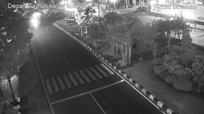
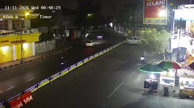
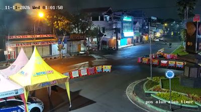
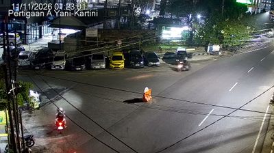
The Batu City–Malang Regency boundary gateway combines a busy roadside corridor with a formal municipal threshold in a way that reflects its position between the two jurisdictions. It stands on the Dau–Batu approach, where everyday traffic, small businesses and housing mark the transition from Malang’s outer districts toward Batu. Batu occupies uplands west of Malang and is closely associated with apple cultivation, a long-established local product. The Brantas River rises in the Batu highlands before becoming one of East Java’s principal rivers. Rather than a remote landmark, this gateway is part of the working road network linking the Malang urban area with the neighbourhoods and agricultural surroundings of Batu.
Generated by AI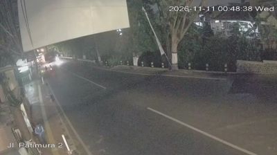
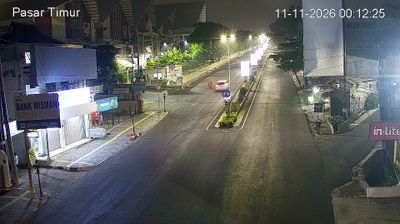
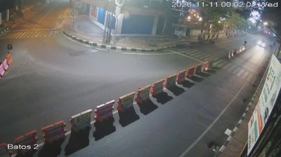
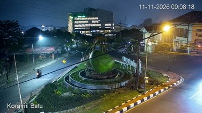



Few cities in East Java have a history as closely tied to the early Javanese kingdom of Kanjuruhan as Malang, where RW 05 lies in the Tunggulwulung urban ward. The city occupies a cool upland basin shaped by the volcanic highlands of the Malang region, while the Brantas River runs through its wider urban area. Candi Badut, an early Hindu temple in Malang, is associated with the Kanjuruhan period and recalls the area’s deep Javanese roots. Today, Malang is also a major education centre, with campuses contributing to its busy, youthful streets. Browse other webcams across Malang and East Java to place this upland setting in a wider geographic context.
1 webcam
East Java occupies the eastern section of Java in Indonesia. Its terrain extends from a chain of active volcanoes to lowland farming areas, with the Java Sea along the north coast and the Indian Ocean to the south. The Brantas River supports many of the province’s towns and agricultural districts. Mount Semeru, Java’s highest volcano, rises within Bromo Tengger Semeru National Park, while the broad caldera of Mount Bromo is one of Indonesia’s most recognised volcanic settings. Near Mojokerto, Trowulan preserves major archaeological remains linked to the former Majapahit capital. Discover other points of interest through webcams located across East Java.
28 webcams
Indonesia has served as a maritime crossroads between the Indian and Pacific oceans since the early centuries of international trade. Its vast archipelago stretches across the equator, linking the volcanoes and rice-growing plains of Java with the rainforests of Borneo and the coral-fringed islands of eastern Indonesia. Java is home to Borobudur, a ninth-century Buddhist temple complex and UNESCO World Heritage Site, while Bali’s Hindu traditions shape daily ceremonies and temple life. Bahasa Indonesia provides a shared national language alongside hundreds of local languages. The Java Sea, Banda Sea and busy straits have long connected islands, ports and cuisines. Browse other webcams across Indonesia’s islands to place this setting in a wider geographic context.
586 webcams