 Putrajaya
 has served as Malaysia’s federal administrative centre in the Klang Valley since 1999. Conceived as a planned city, it concentrates ministries and major state institutions south of Kuala Lumpur; it became a Federal Territory in 2001. Putrajaya Lake forms the civic heart of the city, around which broad boulevards, landscaped parks and government precincts were laid out. Perdana Putra, the office complex of the prime minister, stands beside the pink-domed Putra Mosque, completed in 1999. To the south, Sungai Jenderam is part of the wider lowland river landscape bordering this rapidly developed administrative city.
Generated by AI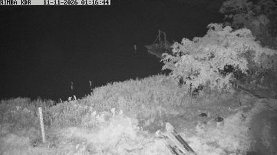
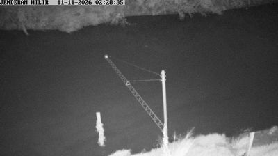


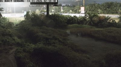
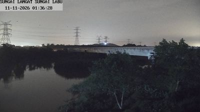



Putrajaya is best known within Malaysia as the country’s federal administrative centre. Planned from the 1990s to ease pressure on Kuala Lumpur, it is arranged around the man-made Putrajaya Lake and broad ceremonial boulevards. Perdana Putra, marked by its green dome, houses the Prime Minister’s Office, while the pink-domed Putra Mosque stands beside the lake near Putra Square. Bridges are central to the city’s design: the cable-stayed Seri Wawasan Bridge and Putra Bridge link districts across the water. Although Kuala Lumpur remains Malaysia’s national capital, many federal ministries operate here. Continue with other webcams from the area to see how this part of Malaysia connects regionally.
3 webcams
Putrajaya combines monumental civic planning with waterside calm in a way that reflects its position within the urban corridor south of Kuala Lumpur. Built as Malaysia’s federal administrative centre, the city is arranged around broad boulevards, formal parks and the man-made Putrajaya Lake, whose shores soften its planned geometry. The rose-tinted Putra Mosque stands beside the lake, while Perdana Putra, home to the Prime Minister’s Office, is a defining part of the skyline. Bridges including Seri Wawasan give Putrajaya a distinctly contemporary profile. Find related webcams in the surrounding area to build a fuller picture of Putrajaya and the Klang Valley.
3 webcams
The South China Sea defines much of Malaysia — it separates Peninsular Malaysia from the states of Sabah and Sarawak on Borneo, while sustaining ports, fisheries and island connections. Malay, Chinese, Indian and Indigenous traditions shape the country’s languages, food and religious life. Kuala Lumpur’s Petronas Twin Towers are a national landmark, while Melaka recalls centuries of trade across the Strait of Malacca. Rainforest reserves and Mount Kinabalu in Sabah contrast with the dense urban energy of the west coast, and Penang is widely known for its street-food culture. Continue through nearby webcams to explore different parts of Malaysia.
106 webcams