 Jezierce: Rakowo
Rakowo’s surrounding landscape is a lowland mosaic of woodland edges and open rural land, which has shaped both settlement patterns and daily life. It lies in Greater Poland Voivodeship, a central-western Polish region where broad plains have long supported farming and forestry. Tree lines give the area a more enclosed character than the wide horizons often associated with the Wielkopolska lowlands. Rakowo forms part of the quiet countryside around Jezierce, defined more by its modest rural scale than by major monuments. Greater Poland holds an important place in Poland’s early history: Gniezno, within the same historic region, was one of the country’s first political and ecclesiastical centres.
Generated by AI
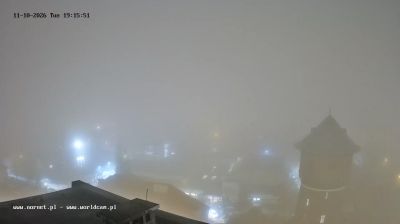
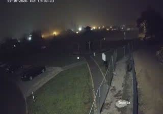

Among the settlements of Greater Poland Voivodeship, Jezierce stands out for its quiet agricultural setting on the broad, gently rolling Polish lowland. Fields, tree-lined roads and small communities shape this part of central-western Poland rather than an urban skyline. Greater Poland has a central place in the story of Polish statehood: Gniezno and Ostrów Lednicki rank among the region’s important early Piast sites. Poznań, the voivodeship capital, provides a larger urban counterpoint, while the surrounding countryside keeps a distinctly rural rhythm. Discover how Jezierce belongs to the wider Greater Poland area by browsing webcams nearby.
1 webcam
The terrain of Greater Poland Voivodeship ranges from glacial lake districts in the north to broad lowlands in the south, creating a largely open landscape shaped by waterways and farming. The Warta, one of Poland’s principal rivers, crosses the region and flows through Poznań, its largest city and a major centre of trade, education and industry. Greater Poland has a central place in the country’s early history: Gniezno is closely associated with the beginnings of the Polish state, while Poznań’s Ostrów Tumski contains the city’s cathedral. Lakes, forests and cultivated fields give the voivodeship a distinctly inland character beyond its urban centres. Continue with other webcams from the area to see how this part of western Poland connects regionally.
29 webcams
Poland stretches from the Baltic Sea coast in the north to the Carpathian Mountains along its southern frontier, encompassing broad lowlands, lake districts and upland ranges. The Vistula, the country’s longest river, links Kraków and Warsaw before reaching the Baltic near Gdańsk, while the Masurian Lake District is defined by a dense network of lakes. Kraków’s historic centre, including Wawel Castle, recalls Poland’s former royal capital; Warsaw’s rebuilt Old Town speaks to the city’s recovery after the Second World War. The Białowieża Forest preserves one of Europe’s last primeval lowland forests and is home to European bison. Follow how Poland’s regions relate to one another by browsing webcams across the country.
716 webcams