 Richmond Hill
The landscape around Richmond Hill is a low, wooded stretch of Georgia’s coastal plain, which has shaped both the built environment and local life. At the Interstate 95–State Route 144 interchange, the city’s northern approach is defined by a broad highway corridor, roadside businesses and pine-lined land in Bryan County. Richmond Hill developed from a small coastal community into a fast-growing city in the Savannah area, while retaining close ties to the Ogeechee River watershed. Its best-known historical association is Henry Ford, who bought extensive local land in the 1920s and supported schools, roads and community facilities. Fort McAllister State Historic Park, on the Ogeechee River, preserves a Confederate earthwork fort from the Civil War.
Generated by AI
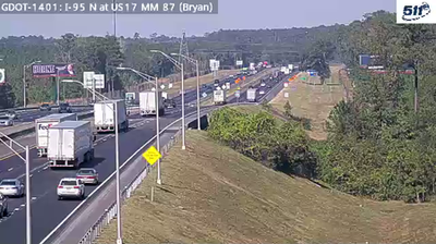
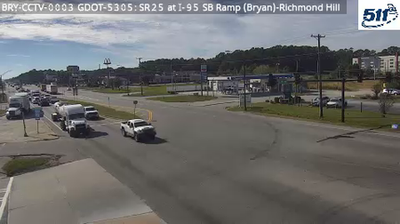


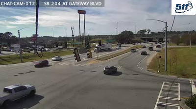

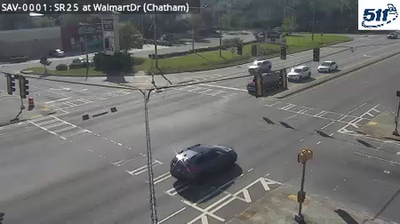
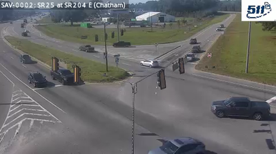

Richmond Hill stands between the Ogeechee River and Georgia’s Atlantic coast in coastal Georgia, a setting that has tied the city to the Lowcountry’s tidal waterways, pine woods, and marshlands. Once known as Ways Station, it became associated with Henry Ford after the industrialist bought the Richmond Hill Plantation in the 1920s and made it his winter retreat. Nearby Fort McAllister State Park preserves Civil War earthworks on the Great Ogeechee River; the fort fell to Union forces in December 1864 during Sherman’s March to the Sea. Richmond Hill is now part of the Savannah metropolitan area while retaining a distinctly coastal, small-city identity. Continue with other webcams from coastal Georgia to see how this part of the Ogeechee River corridor connects regionally.
4 webcams
The terrain of Georgia ranges from the Blue Ridge Mountains in the north to the low, sandy Atlantic Coastal Plain in the south and east, creating a state of sharply varied landscapes. The Chattahoochee River follows much of the Alabama border, while the Savannah River forms much of the boundary with South Carolina before reaching the Atlantic. Atlanta is closely linked to the US civil rights movement and includes the Martin Luther King Jr. National Historical Park. On the coast, barrier islands and salt marshes frame Savannah, whose historic district is recognised for its network of public squares. Explore related webcams in the surrounding area to build a fuller picture of Georgia.
2.9K webcams
The Atlantic, Pacific and Gulf coasts define much of the United States — their ports, fisheries and trade routes have long tied the country’s economy to the wider world. Between them, the Rocky Mountains, Great Plains and Mississippi River basin form sharply different regions, from high western ranges to broad agricultural heartlands. Cities carry much of the national story: New York’s Statue of Liberty, a gift from France dedicated in 1886, remains an enduring symbol, while Washington, DC concentrates major federal institutions. Indigenous nations have shaped these lands for millennia, and their living cultures remain essential to the country’s identity. Find related webcams in the surrounding areas to build a fuller picture of the United States.
32K webcams