 Chestatee
Few places in north Georgia have a history as closely tied to the transformation of the Chattahoochee River valley as Chestatee. This north Forsyth County community lies in the wider Lake Lanier area, where Buford Dam impounded the Chattahoochee to create the reservoir during the 1950s. State Route 306, locally known as Keith Bridge Road, is an important route through the area; Jot Em Down Road meets it at a commercial crossroads serving nearby homes and businesses. Chestatee is part of metropolitan Atlanta’s outer northern fringe, but its setting retains the rolling, wooded character of the Georgia Piedmont. Forsyth County was established in 1832 and named for Georgia governor John Forsyth, placing this road junction within an older county landscape shaped by reservoir development and suburban growth.
Generated by AI
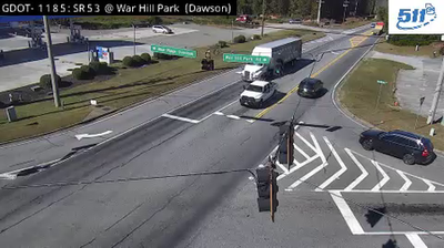
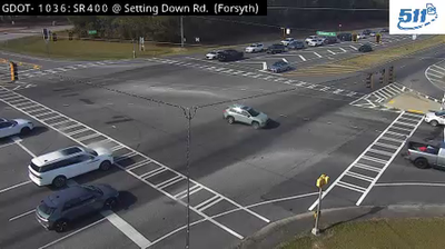
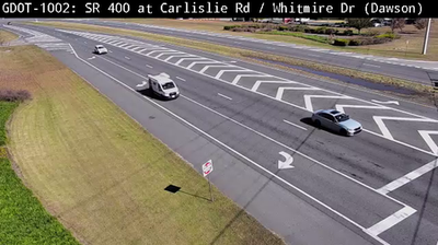
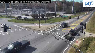

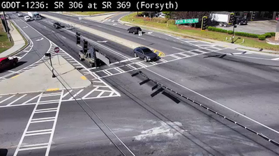


Chestatee straddles the Chestatee River in northern Georgia, where the river’s descent from the Blue Ridge foothills toward Lake Lanier has shaped a quiet, water-oriented setting. The Chestatee is a major tributary of Lake Lanier, the large reservoir formed when Buford Dam was completed in 1956. Wooded banks, coves and rolling ridges place the community in the lake country north of metropolitan Atlanta, with the higher Blue Ridge Mountains rising farther north. Managed by the U.S. Army Corps of Engineers, Lake Lanier is central to the region’s water supply and recreation. Browse nearby webcams to see how Chestatee connects with Lake Lanier and north Georgia.
1 webcam
The terrain of Georgia ranges from the Blue Ridge Mountains in the north to the low, sandy Atlantic Coastal Plain in the south and east, creating a state of sharply varied landscapes. The Chattahoochee River follows much of the Alabama border, while the Savannah River forms much of the boundary with South Carolina before reaching the Atlantic. Atlanta is closely linked to the US civil rights movement and includes the Martin Luther King Jr. National Historical Park. On the coast, barrier islands and salt marshes frame Savannah, whose historic district is recognised for its network of public squares. Explore related webcams in the surrounding area to build a fuller picture of Georgia.
2.9K webcams
The Atlantic, Pacific and Gulf coasts define much of the United States — their ports, fisheries and trade routes have long tied the country’s economy to the wider world. Between them, the Rocky Mountains, Great Plains and Mississippi River basin form sharply different regions, from high western ranges to broad agricultural heartlands. Cities carry much of the national story: New York’s Statue of Liberty, a gift from France dedicated in 1886, remains an enduring symbol, while Washington, DC concentrates major federal institutions. Indigenous nations have shaped these lands for millennia, and their living cultures remain essential to the country’s identity. Find related webcams in the surrounding areas to build a fuller picture of the United States.
32K webcams