 East Point
The landscape around East Point is low, wooded and marked by rolling Piedmont terrain, which has shaped both the built environment and local life. The city stands in Fulton County, south of central Atlanta, within the watershed of the Chattahoochee River. SR 154 and US 29 are part of the road network linking residential districts and commercial corridors with the wider metropolitan area. East Point began as a railroad community, and that heritage remains evident in its close relationship with Atlanta’s transport infrastructure. Tree-lined rights-of-way and broad arterial roads give this section of the city a more dispersed character than Atlanta’s urban core, while Hartsfield-Jackson Atlanta International Airport is nearby.
Generated by AI


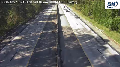


East Point has served as a railroad town in Georgia’s Piedmont since the 1870s, when the Atlanta and West Point Railroad helped shape its growth south of Atlanta. Set between central Atlanta and Hartsfield–Jackson Atlanta International Airport, it remains a separate Fulton County city with its own compact downtown. The historic commercial district follows the rail corridor, preserving the logic of the original settlement. Dick Lane Velodrome, a banked outdoor cycling track, gives East Point a particular role in the region’s sporting life. Trace East Point’s place in metropolitan Atlanta by browsing webcams nearby.
11 webcams
The terrain of Georgia ranges from the Blue Ridge Mountains in the north to the low, sandy Atlantic Coastal Plain in the south and east, creating a state of sharply varied landscapes. The Chattahoochee River follows much of the Alabama border, while the Savannah River forms much of the boundary with South Carolina before reaching the Atlantic. Atlanta is closely linked to the US civil rights movement and includes the Martin Luther King Jr. National Historical Park. On the coast, barrier islands and salt marshes frame Savannah, whose historic district is recognised for its network of public squares. Explore related webcams in the surrounding area to build a fuller picture of Georgia.
2.9K webcams
The Atlantic, Pacific and Gulf coasts define much of the United States — their ports, fisheries and trade routes have long tied the country’s economy to the wider world. Between them, the Rocky Mountains, Great Plains and Mississippi River basin form sharply different regions, from high western ranges to broad agricultural heartlands. Cities carry much of the national story: New York’s Statue of Liberty, a gift from France dedicated in 1886, remains an enduring symbol, while Washington, DC concentrates major federal institutions. Indigenous nations have shaped these lands for millennia, and their living cultures remain essential to the country’s identity. Find related webcams in the surrounding areas to build a fuller picture of the United States.
32K webcams