 Fort Oglethorpe
 occupies a lowland corridor in northwest Georgia, close to the Tennessee state line. Its streets meet the commercial routes of U.S. Route 27 and Georgia State Route 2, reflecting the city's place in the Chattanooga metropolitan area. Chickamauga Creek and the rolling ground of the Chickamauga battlefield shape the wider setting. Fort Oglethorpe grew around a U.S. Army post established in 1904; the post closed in 1946, but its historic reservation remains part of the city. Nearby, Chickamauga and Chattanooga National Military Park preserves land associated with the 1863 Battle of Chickamauga, a pivotal Civil War engagement.
Generated by AI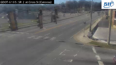


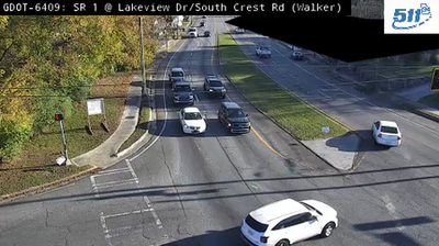
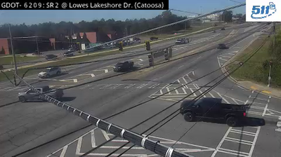
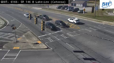

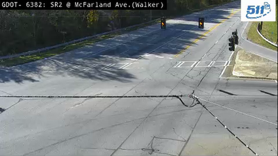
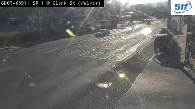
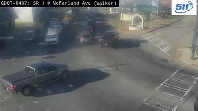

Fort Oglethorpe occupies a low valley in northwest Georgia’s Ridge-and-Valley Appalachians, close to the Tennessee border. The city stands beside Chickamauga and Chattanooga National Military Park, where the Battle of Chickamauga was fought in 1863 during the American Civil War. Its name recalls the former U.S. Army post of Fort Oglethorpe, which operated here for much of the 20th century. Lookout Mountain and the Tennessee River lie nearby around Chattanooga, placing this small Georgia community in a wider Appalachian setting. Browse additional webcams from northwest Georgia and the Chattanooga area to extend your view of the southern Appalachians.
8 webcams
The terrain of Georgia ranges from the Blue Ridge Mountains in the north to the low, sandy Atlantic Coastal Plain in the south and east, creating a state of sharply varied landscapes. The Chattahoochee River follows much of the Alabama border, while the Savannah River forms much of the boundary with South Carolina before reaching the Atlantic. Atlanta is closely linked to the US civil rights movement and includes the Martin Luther King Jr. National Historical Park. On the coast, barrier islands and salt marshes frame Savannah, whose historic district is recognised for its network of public squares. Explore related webcams in the surrounding area to build a fuller picture of Georgia.
2.9K webcams
The Atlantic, Pacific and Gulf coasts define much of the United States — their ports, fisheries and trade routes have long tied the country’s economy to the wider world. Between them, the Rocky Mountains, Great Plains and Mississippi River basin form sharply different regions, from high western ranges to broad agricultural heartlands. Cities carry much of the national story: New York’s Statue of Liberty, a gift from France dedicated in 1886, remains an enduring symbol, while Washington, DC concentrates major federal institutions. Indigenous nations have shaped these lands for millennia, and their living cultures remain essential to the country’s identity. Find related webcams in the surrounding areas to build a fuller picture of the United States.
32K webcams