 Harrisville: Peak Crossing Churchbank Weir Road
Warrill Creek shapes the rural setting of Peak Crossing — its low creek flats and tree-lined banks divide the grazing land around Churchbank Weir Road. The route is close to Harrisville in south-east Queensland, where scattered farmsteads, paddocks and local roads mark a working agricultural district rather than a built-up township. Peak Crossing belongs to the rural hinterland west of Ipswich, a landscape of open ground, roadside vegetation and small local connections. Churchbank Weir Road has the scale of its surroundings: a modest sealed route with broad verges and a creek corridor. The locality’s character remains tied to grazing, dispersed properties and the roads that link them with neighbouring communities.
Generated by AI
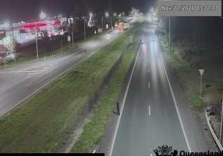
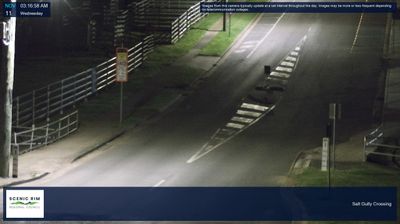
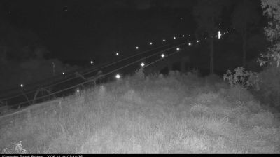

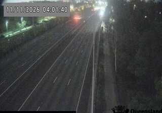

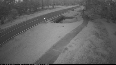
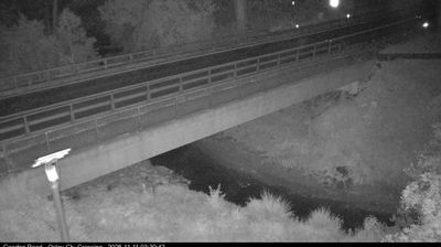

Built around the fertile farming country of the Fassifern Valley, Harrisville grew into a small rural service town in Queensland’s Scenic Rim. It lies south-west of Ipswich, amid open paddocks and low ranges rather than the coast-bound settings often associated with the state. Harrisville was served by the former Fassifern railway line, which connected Ipswich with Dugandan and helped move the valley’s agricultural produce and passengers during the late 19th and 20th centuries. Its compact centre still reflects that practical connection with the surrounding farming district. Browse additional webcams from the surrounding area to extend your view of the Fassifern Valley and Scenic Rim.
1 webcam
Queensland extends from Torres Strait in the north to the New South Wales border in the south, encompassing a tropical coastline and a vast, dry interior. Along the Coral Sea, the Great Barrier Reef runs beside the state’s eastern shore, while inland plains, grazing country and long distances define much of central and western Queensland. This location lies in the interior, where settlements are widely spaced and open outback horizons contrast with the humid coast. Queensland is home to Aboriginal and Torres Strait Islander peoples, whose enduring connections to Country underpin its cultural identity. Browse additional webcams from central Queensland to extend your view of the state’s interior.
479 webcams
Australia’s terrain extends from tropical rainforests in the northeast to arid plains in the interior, producing dramatic climatic contrasts. The Great Dividing Range follows much of the eastern coast, while the Great Barrier Reef lies off Queensland in the Coral Sea and Uluru rises from the central desert. Aboriginal and Torres Strait Islander peoples maintain living cultures whose connections to Country long predate European settlement. In Sydney, the sail-like Opera House, completed in 1973, stands beside one of the world’s best-known harbours. Discover further points of interest through webcams located across Australia.
1.6K webcams