 Curacautin
Curacautín combines the quiet scale of a small Andean town with a rugged volcanic landscape in a way that reflects its position on the western foothills of the Andes. The surrounding area reaches toward Malalcahuello National Reserve, where forests of Araucaria araucana, the monkey puzzle tree, are a defining feature of the southern Andes. Lonquimay Volcano and the Sierra Nevada massif shape this highland terrain, while Corralco is a mountain resort and ski area within the reserve. Araucaria araucana is Chile’s national tree, linking the landscape to one of the country’s most recognisable botanical symbols. The wider Araucanía region is also part of the ancestral territory of the Mapuche people.
Generated by AI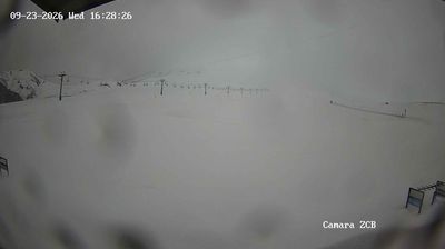
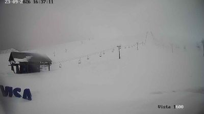

Curacautín sits on the Cautín River in Chile’s Araucanía Region, where forested interior valleys meet the Andean foothills. Founded in 1882 during Chile’s occupation of Araucanía, the town stands in a region that remains central to Mapuche and Pehuenche heritage. Roads from Curacautín lead towards Malalcahuello-Nalcas National Reserve, an area of volcanic terrain and araucaria forests beneath Lonquimay Volcano. The araucaria, locally called pehuén, is closely connected to the food traditions and cultural life of Mapuche-Pehuenche communities. Move on to other webcams in Araucanía to compare landscapes and settings around Curacautín and the Andes.
2 webcams
Shaped around the basins of the Cautín and Toltén rivers, Araucanía Region has developed into a southern Chilean centre of Mapuche culture, farming, forestry and travel. The Andes form its eastern edge, where Villarrica—one of Chile’s most active volcanoes—rises above Lake Villarrica. Conguillío National Park is known for its ancient araucaria forests and volcanic terrain, while Temuco serves as the regional capital and main urban hub. Mapuche traditions remain central to local identity, expressed through communities, crafts and the Mapudungun language. Discover other points of interest through webcams located across Araucanía Region.
4 webcams
Among the countries of South America, Chile stands out for its exceptional north-to-south extent between the Andes and the Pacific Ocean. The Atacama Desert in the north is one of the driest places on Earth, while the south reaches into Patagonia, where Torres del Paine National Park is known for its jagged granite peaks, glaciers and lakes. Chile also includes Rapa Nui, the Pacific island famed for its monumental moai statues. In Valparaíso, steep hills, funicular railways and colourful historic neighbourhoods reflect the country’s maritime past; its historic quarter is a UNESCO World Heritage Site. Find related webcams in the surrounding area to build a fuller picture of Chile’s Pacific coast and Andean regions.
102 webcams